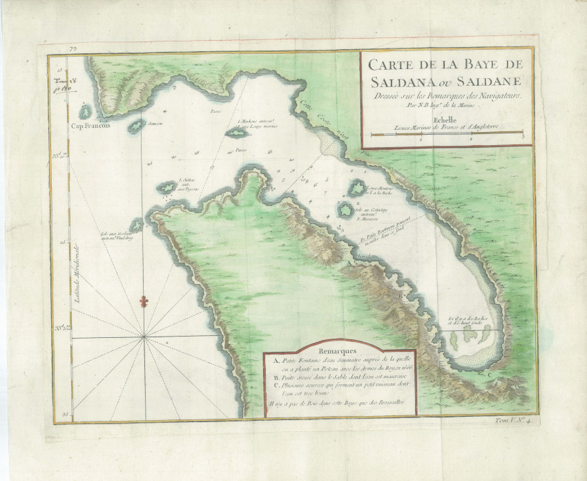
Attractive map of a misshapen Saldanha Bay by the famous, prolific French Hydrographer, Jacques Nicolas Bellin - the first Ingénieur de la Marine of the Dépot des cartes et plans de la Marine (the French Hydrographical Office) and was named Official Hydrographer of the French King.
This map was printed for A.F. Prevost's monumental Histoire Generale Des Voyages, Tome V, No. 4 published in 1749.
A 1.5cm marginal tear outside the left plateline has been professionally repaired. There are contemorary annotations in pen at the top left.
- Overall Condition: Near Fine
- Size: 27.5 x 20.8cm
- Sold By: Roger Stewart Antiquarian
- Contact Person: Dr. Roger Stewart
- Country: South Africa
- Email: [email protected]
- Telephone: +27836541081
- Preferred Payment Methods: LOCAL: EFT; INTERNATIONAL: Bank Transfer; Visa and Mastercard via PayFast
- Trade Associations: IMCOS


