
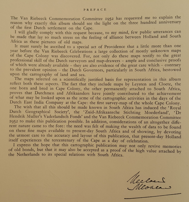
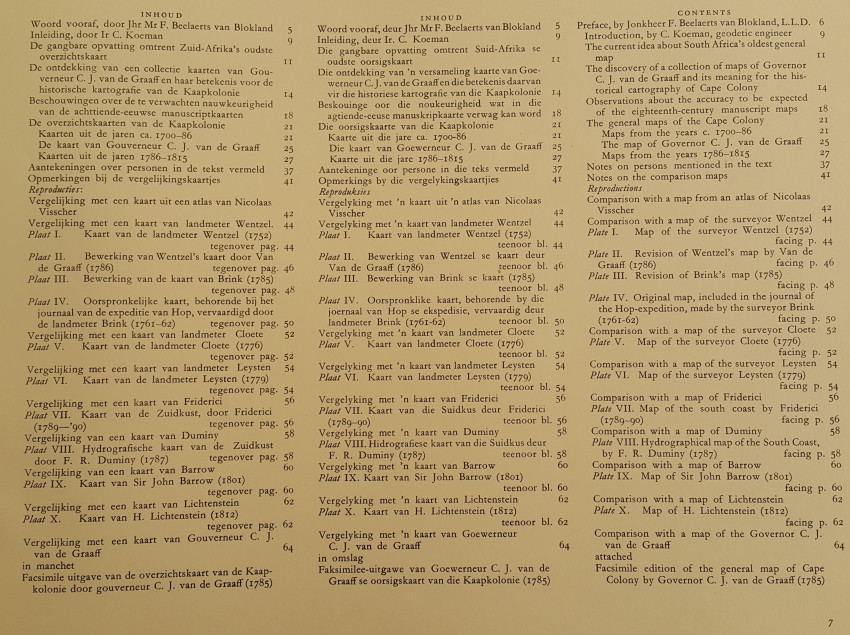
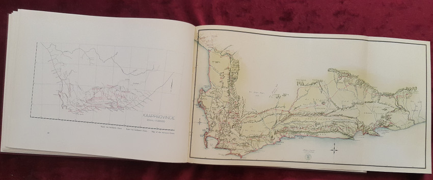
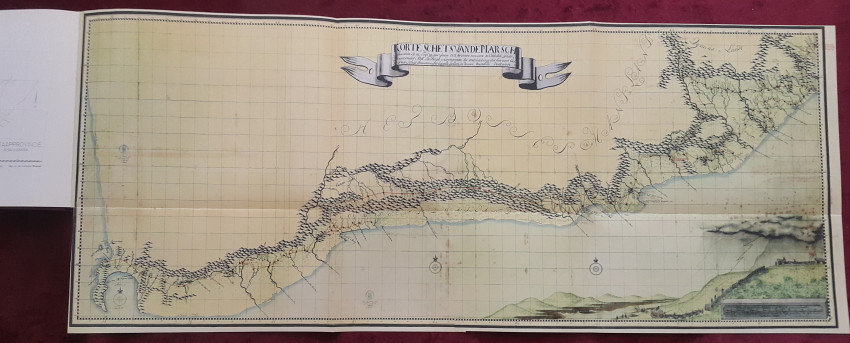
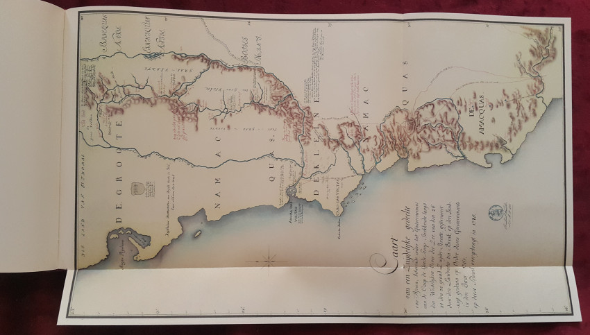
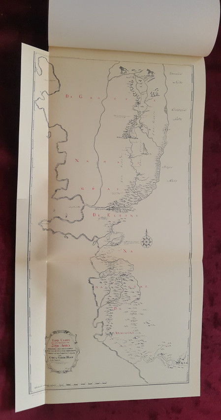
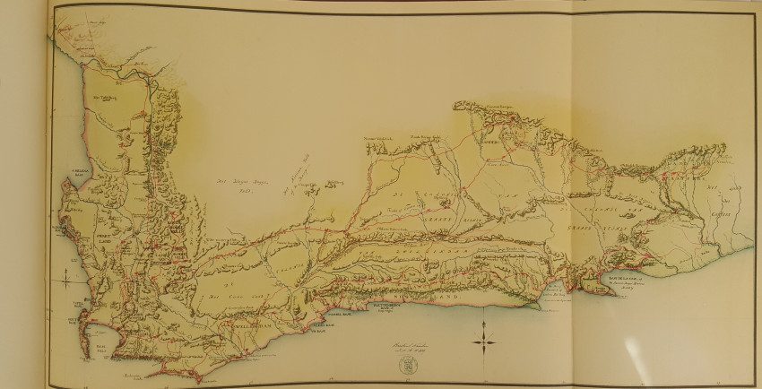


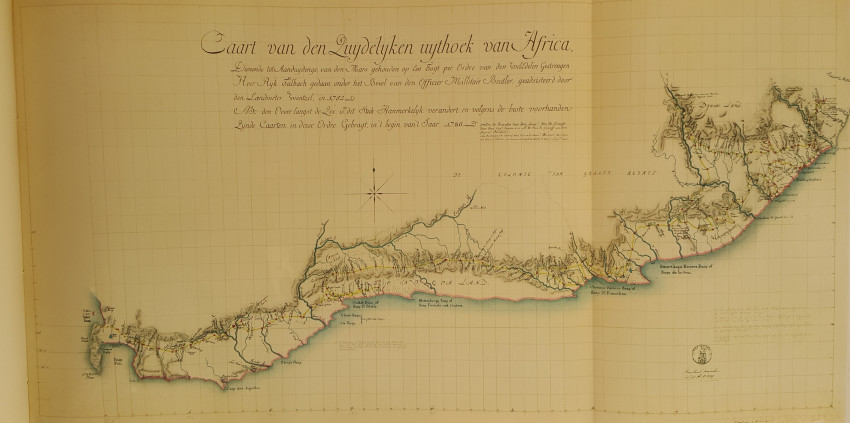
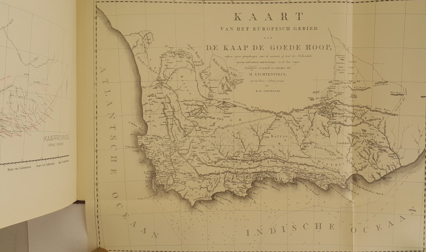
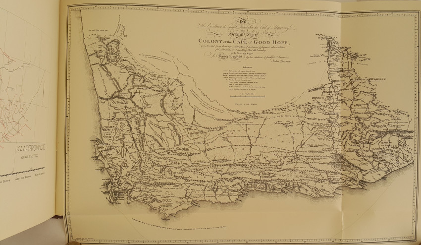

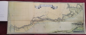


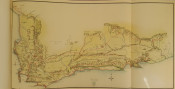

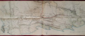
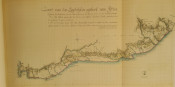

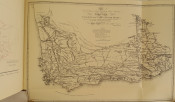
A collection of mostly unknown maps was discovered among the papers of Governor C.J. van de Graaf shortly before the Van Riebeeck tri-centenary celebrations in 1952, and so this atlas was published as part of those celebrations. An interesting article recounts the particulars of the discovery and its significance for the historical cartography of South Africa. Ten maps are reproduced - see photos. The text is crammed with most interesting cartographic history and detail. The map in a pocket on the lower board measures 58 x 149 cm! 64 Pages. Sadly there is a 5cm. tear in the left lower margin of the map facing p. 44 and a 2cm. tear middle lower margin of map facing p.50.
- Binding Condition: Very good.
- Overall Condition: Very good.
- Size: 30.5 x 40.5 cm.
- Sold By: Ex Libris
- Contact Person: Dr. P.J.B. Lamb
- Country: South Africa
- Email: [email protected]
- Telephone: 0829364794
- Preferred Payment Methods: EFT or Paypal with a 5% surcharge to cover additional costs.
- Trade Associations: AA Approved


