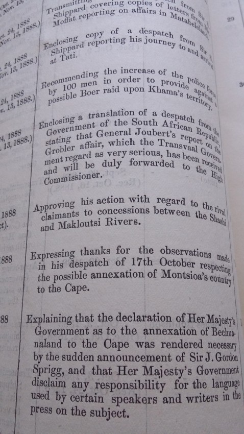
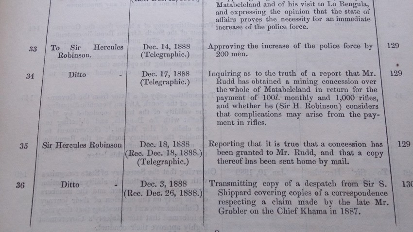
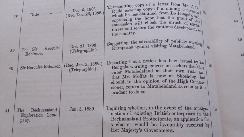
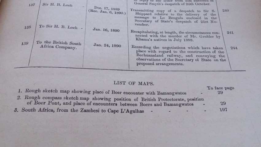
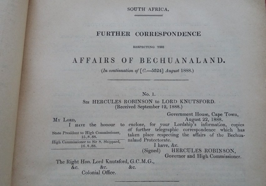
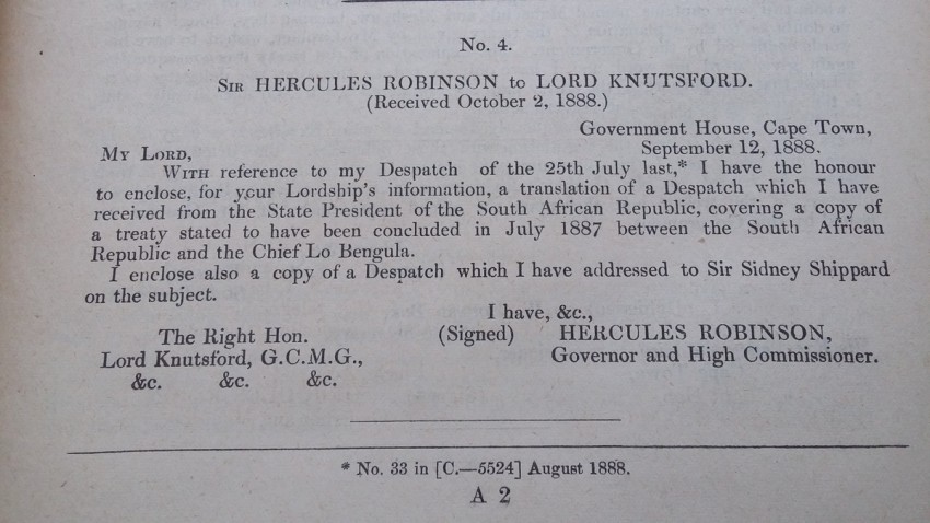
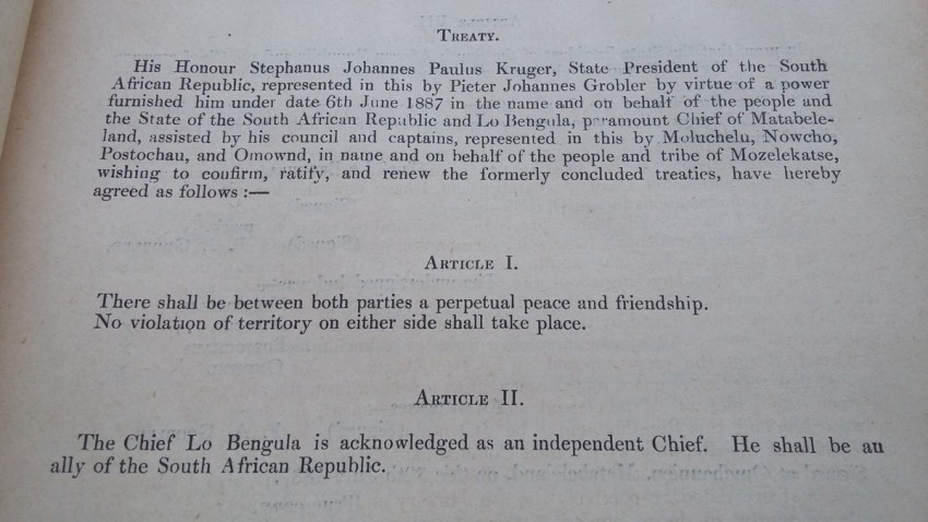
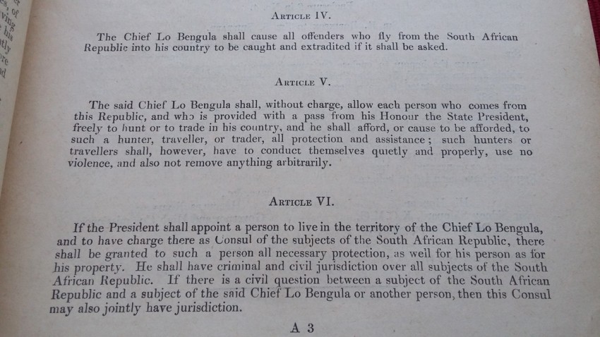
Much of correspondence between Sir Hercules Robinson, The Bechuanaland Exploration Company, British South Africa Company, Her Mayesty's Governement Office, etc.
List of maps:
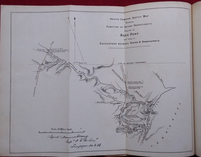
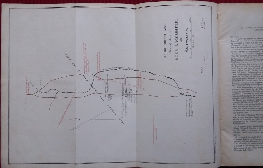
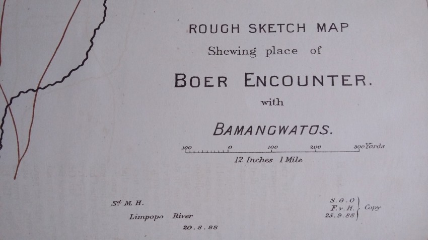
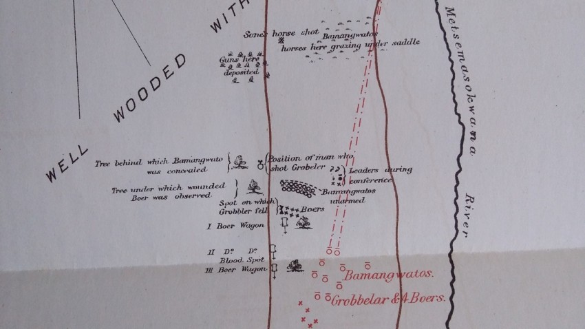
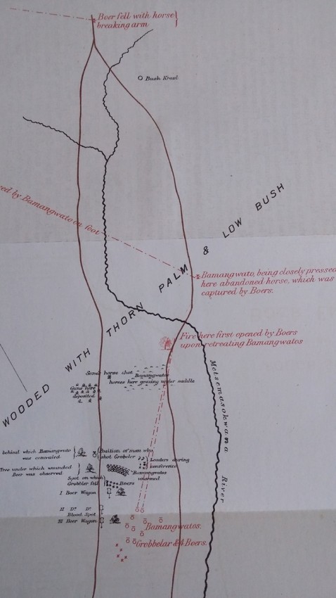
1) Rough sketch map showing place of Boer encounter with Bamagwatos
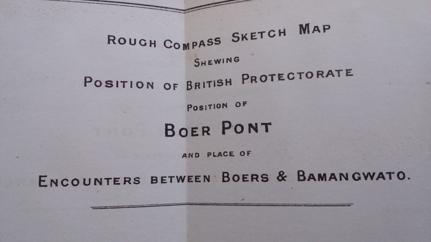
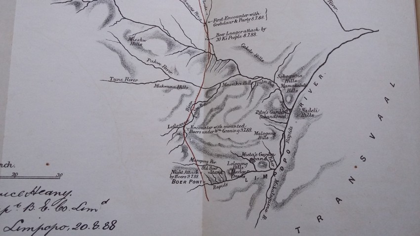
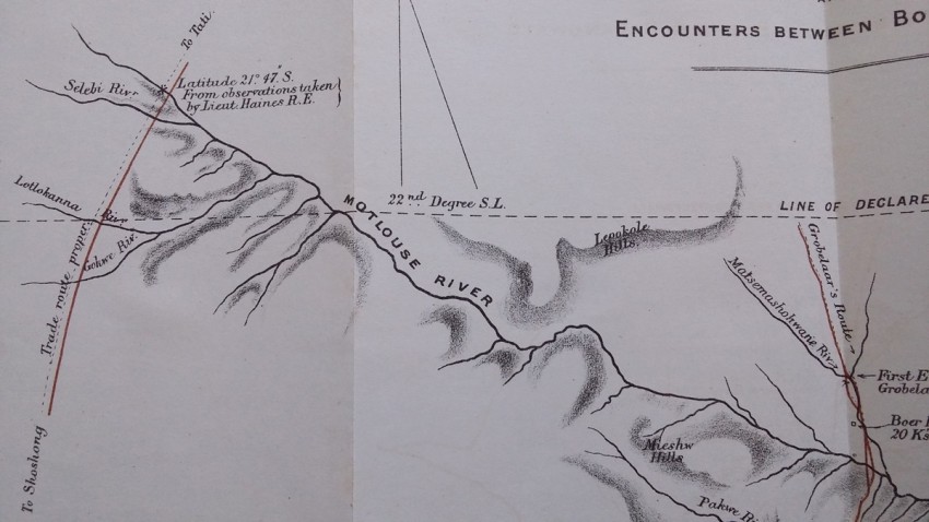
2) Rough compass sketch map showing position of British Protectorate, position of Boer Pont, and place of encounters between Boers and Bamagwatos
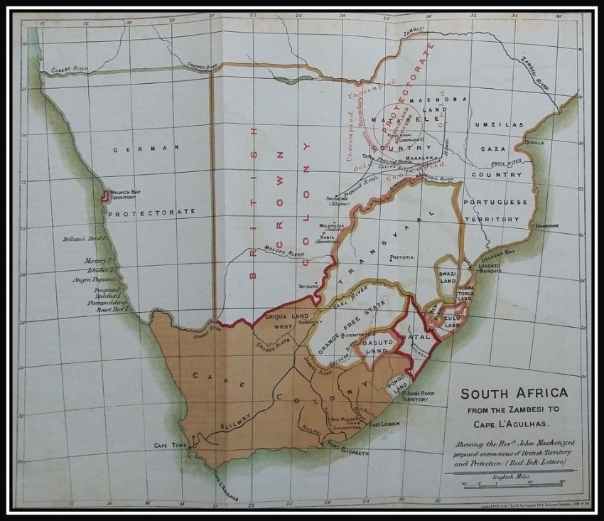
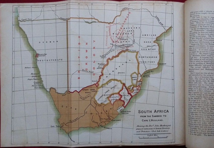
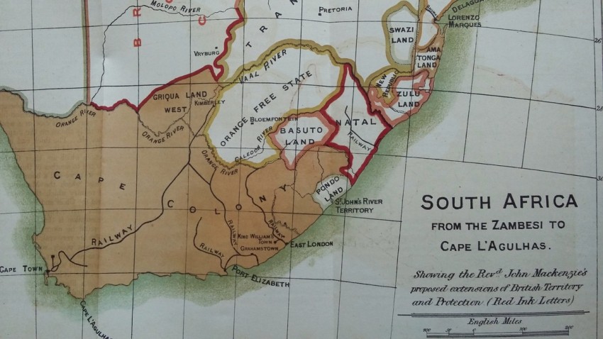
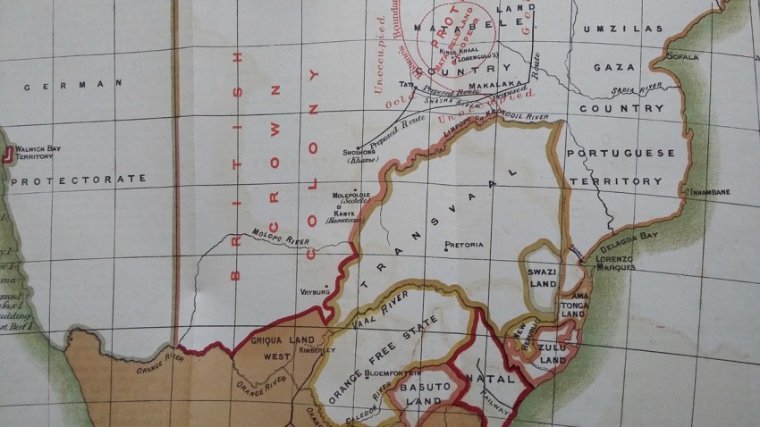
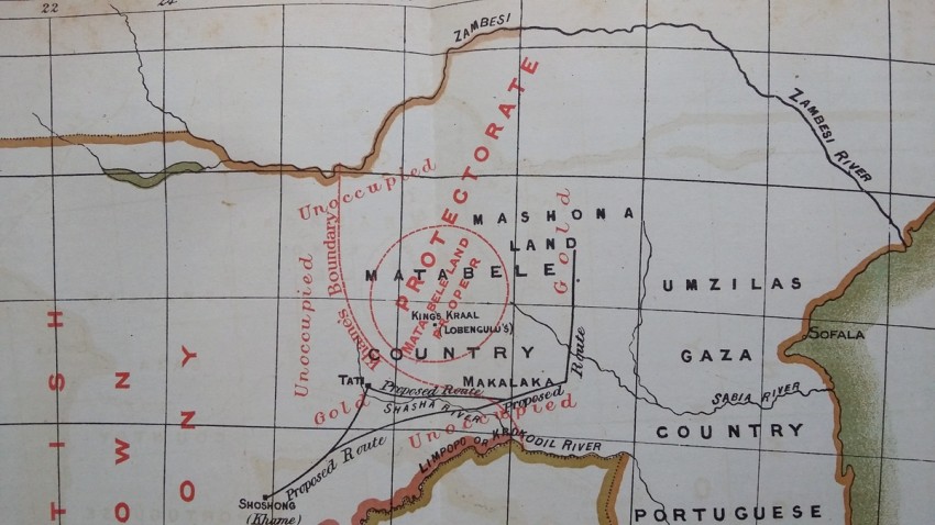
3) South Africa, from the Zambesi to Cape L'A'gulhas
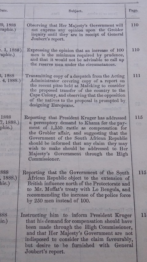
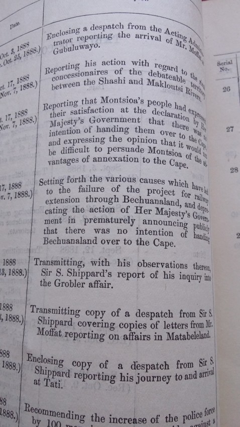
Blue paper wrappers; Collation complete - 245 pages + 3 folding coloured maps; British Parliamentary Paper C.-5918.; Paper wrappers a bit fragile to the spine and extremities. Text block/pages with some age toning, othervise a clean and well preserved copy.
- Binding Condition: Good
- Overall Condition: Very good
- Size: 33 x 21 cm
- Sold By: The Antiquarian Book
- Contact Person: Mariana Deric
- Country: Croatia
- Email: [email protected]
- Telephone: 0917552163
- Preferred Payment Methods: Paypal (no additional charges); Bank (WIRE) transfer via IBAN/BIC/SWIFT
- Trade Associations: AA Approved


