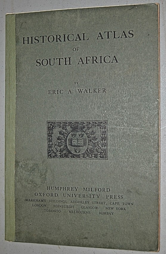
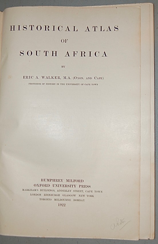
Cape Town: Humphrey Milford, OUP, 1922. First edition (pp. 26 and maps). Folio (38 cm) in green boards, decorative front cover; neat repairs to spine. Twenty-six maps in colour comprise the atlas which was “intended primarily to illustrate the history of South Africa south of the Zambezi… maps have been inserted to show the connexion between Africa and the East Indies from the fifteenth to the early nineteenth century. Maps showing the bearing on South African history of the European partition of Africa in the later nineteenth and early twentieth centuries, economic maps explaining that partition, and a map of the world in terms of population are also included” (from the introductory Note). Maps and text are clean and bright, neat repairs to the spine, somewhat worn corners. A Very Good copy.
- Sold By: Trillium Antiquarian Books - SA
- Contact Person: William Van Nest
- Country: Canada
- Email: [email protected]
- Telephone: 705-749-0461
- Preferred Payment Methods: cheque, money order, Paypal for credit cards, wire
- Trade Associations: IOBA

Similar lots in the current auction View all
Click on an item to view more details and to bid.

