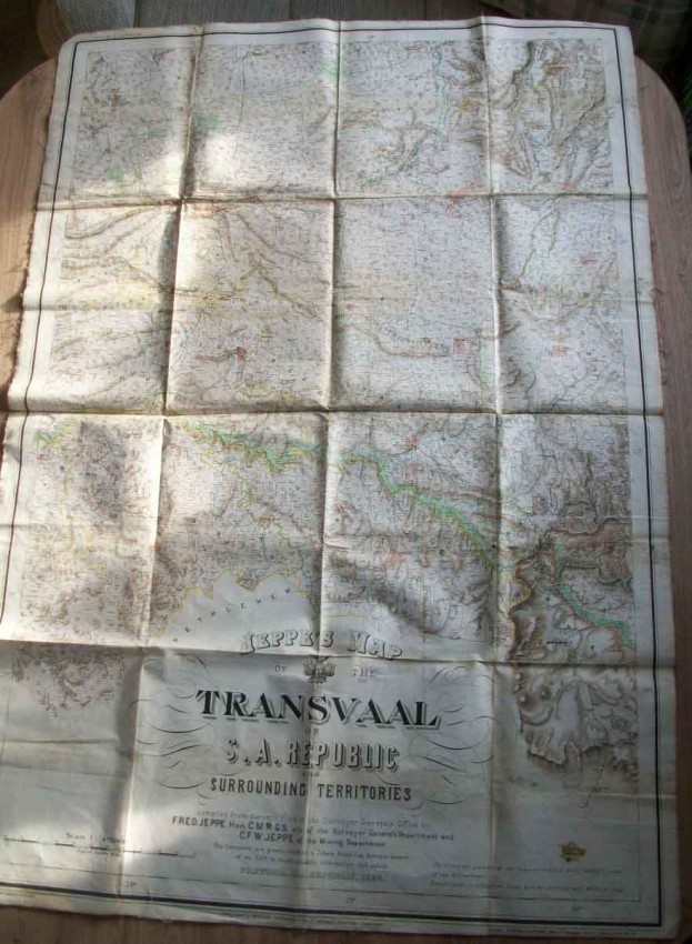
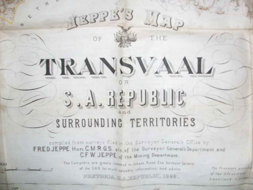


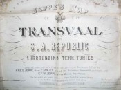
This map compiled from surveys filed in the Surveyor Generals Office by Fred Jeppe. Hon.C.M.R.G.S etc, of the Surveyor General's Department and C.F.W. Jeppe, of the Mining Department.
The compilers are greatly indebted to Johann Rissik Esq, Surveyor General of the S.A.R for much valuable information and advice. Pretoria. S.A. Republic, 1890.
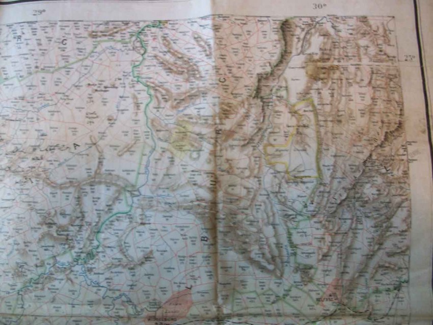
The Freestate portion of the map is reduced from Herfst's map of the O.Freestate. Swaziland is compiled from actual surveys and Miller's map.
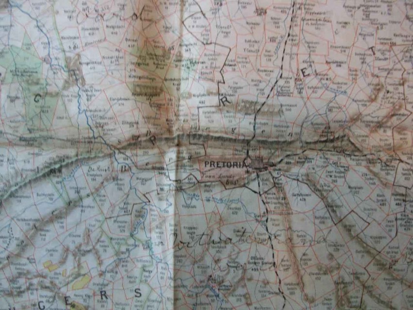
Scale 1 : 476,000. Full colour lithographed map-glazed/linen. Consisting of 16 panels folding. 97 X 66cm. Sheet Number Five.
Lithographed by Wurster, Randegger & Cie(J.Schlumpf.), Winterthur, Switzerland.
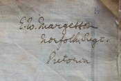
Map is signed to the rear E.W.Margesson, Norfolk Regiment, Pretoria.
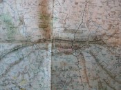
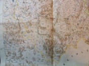
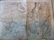
There are some stains to rear and this has been a map in action as it were. Couple of small marks to front and margins. Some Ink notations faintly applied.Colour reproduction is very good for age as is detail.
- Binding Condition: Very Good
- Overall Condition: Very Good
- Size: 97 X 66 unfolded(16 panels)
- Sold By: Quathlamba Winds Books
- Contact Person: Ian & Yvonne Halford
- Country: United Kingdom
- Email: [email protected]
- Telephone: 01743 361772
- Preferred Payment Methods: Paypal-Cheques-Direct Transfer to UK Bank.
- Trade Associations: SABDA


