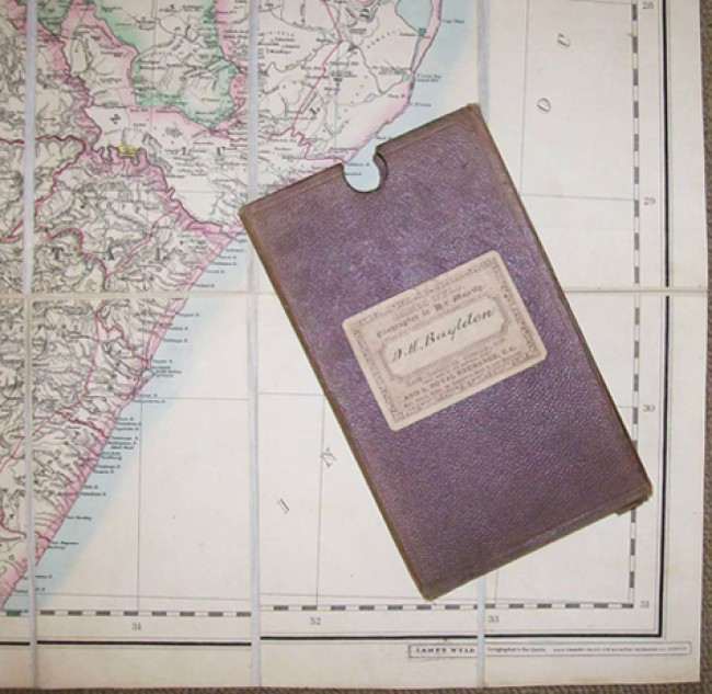
Contained in the original cardboard holder covered with brown/maroon pebble grained cloth with the label "Jeppe's Transvaal" on the side and the James Wyld label on the upper side. See image where this holder is placed on the right hand bottom corner of the map, which bears the legend: " James Wyld, Geographer to the Queen," and the Charing Cross Street address.
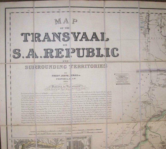
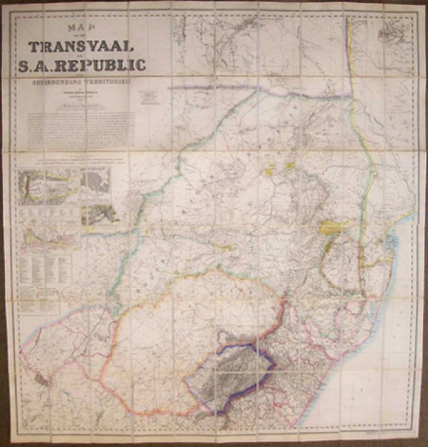
For ease of folding this map has been cut into panels mounted on linen. It is coloured in outline and has the insets of the De Kaap Goldfields, Witwatersrand Goldfields, Plan of Pretoria and Suberbs and a Portion of Zoutpansberg Goldfields.
CONDITION DETAILS: The holder is a bit worn and soiled, but intact. The map has some soiling throughout, but no distinct soil marks on the face, so a pretty decent example of a scarce map.
- Overall Condition: Reasonably clean
- Size: 1302mm x 1247mm
- Sold By: Gandolph's Books
- Contact Person: Arnaud Labuschagne
- Country: South Africa
- Email: [email protected]
- Telephone: +27 11-624-1752
- Preferred Payment Methods: Cash, Cheque deposits in Rands, bank transfers.
- Trade Associations: AA Approved


