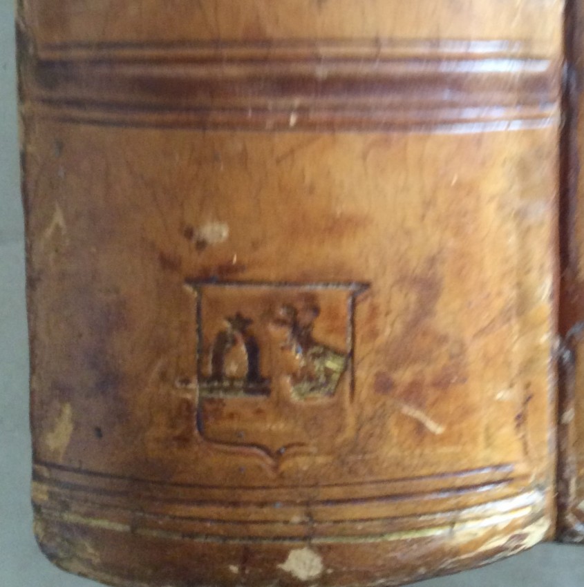
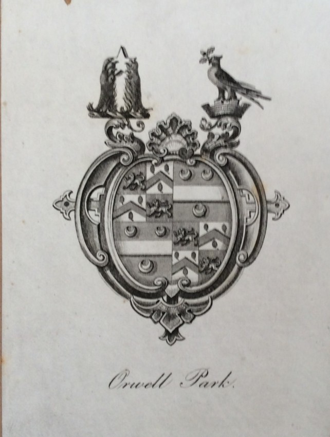
OWNERSHIP. This copy was previously owned by George Tomlin Pretyman (1812-1889), whose crests are gilt-embossed in the sixth pocket of the calf spine and whose Orwell Park bookplate, which incorporates the two crests, is pasted on to the front paste-down (see images). Another book with the same crests to the spine is by R Torres (1844), now in the Princeton Museum. The two crests are Tomline ("out of a coronet a martlet holding in its beak a branch of oak") and Pretyman ("two lions gans erect holding a mullet), whole a copy of the bookplate is in the Fine Arts Museum of San Francisco.
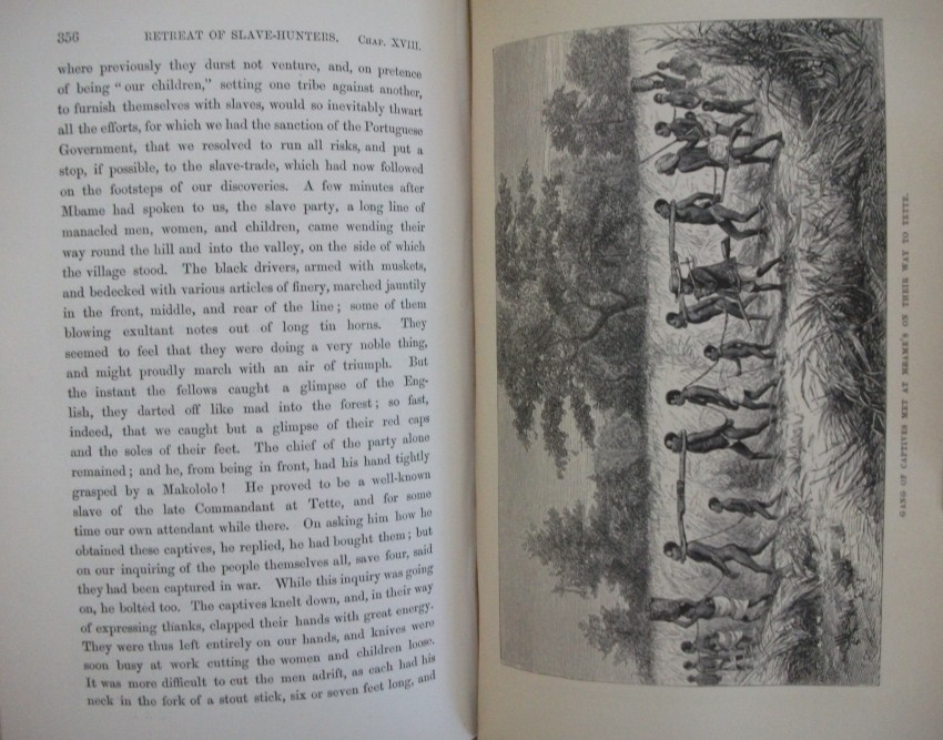
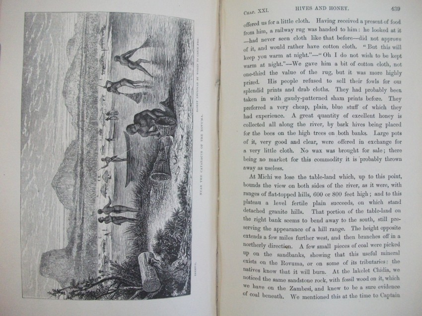
The copy is original, complete and has the barest minimum of foxing spots - and none where they matter, which would be on the faces of the illustrations and map, as well as on the preliminary and text pages.
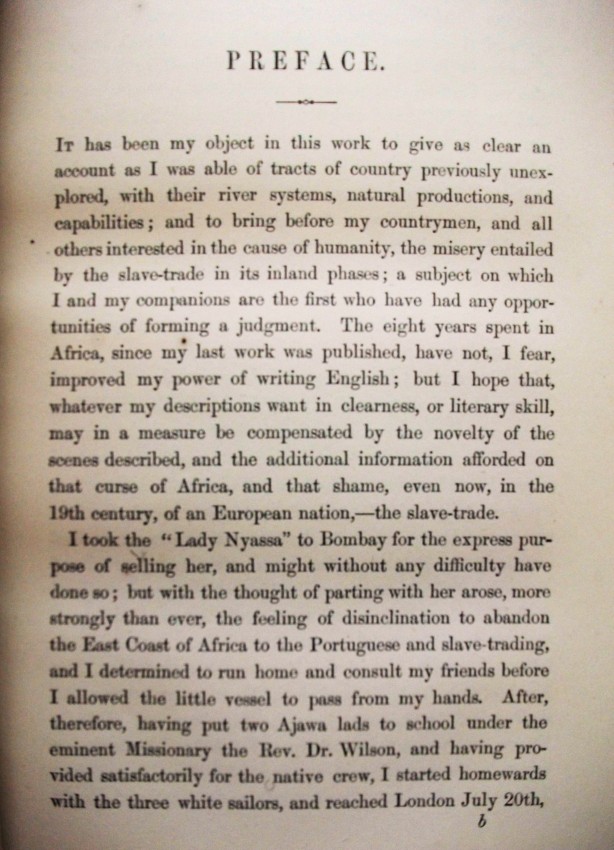
The books tells the story of the expedition to the Zambesi (etc), which was directed and funded by the British Government and led by David Livingstone, who writes that he has incorporated his son Charles's own diary into the main narrative.
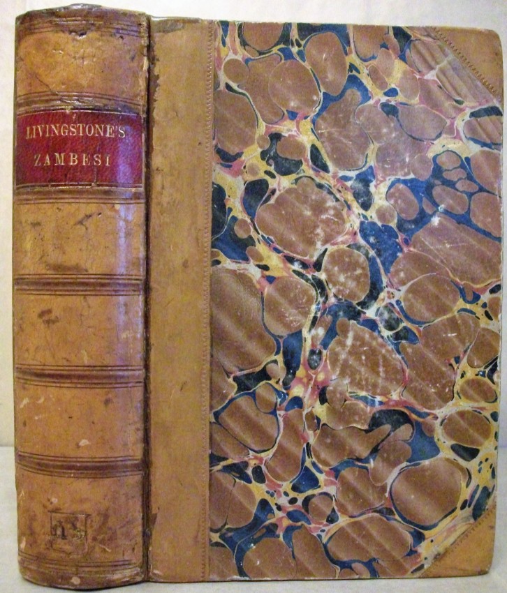
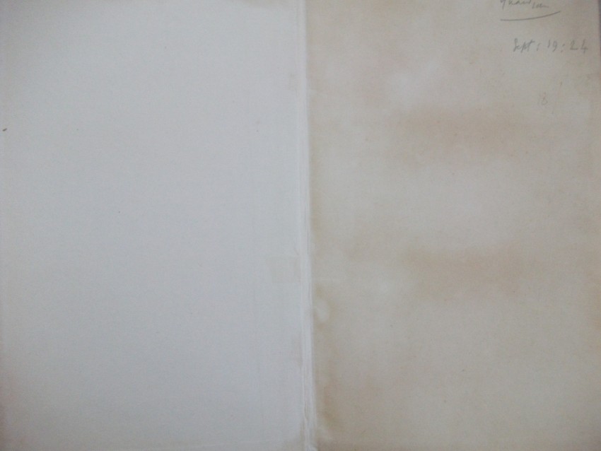
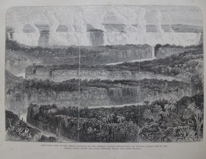
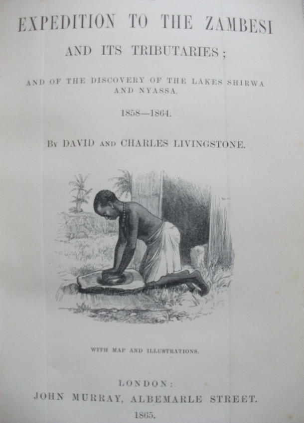
DESCRIPTION. Half-bound in tan calf and matching marbled-paper sides, with "Livingstone's Zambesi" lettered in gilt on a scarlet panel in the second pocket and a heraldic device (see Ownership above) blind embossed to the sixth pocket. All page edges are trimmed and the text-block is rounded; the top edge is gilt and the other edges are spotted red. There is no acknowledgment to the binder, but the printer was William Clowes and Sons of London. The plain matching endpapers are one-sided. A 3-fold monochrome engraving ("Bird's Eye View of the Great Cataracts of the Zambesi . . . and of the Zigzag Chasm below the Falls") is the frontispiece, opposite the title-page, which includes a vignetted illustration. There are dedication and preface pages, as well as a postscript to the preface, contents pages, and list of illustrations.
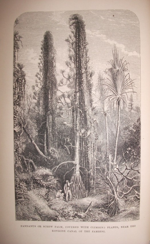
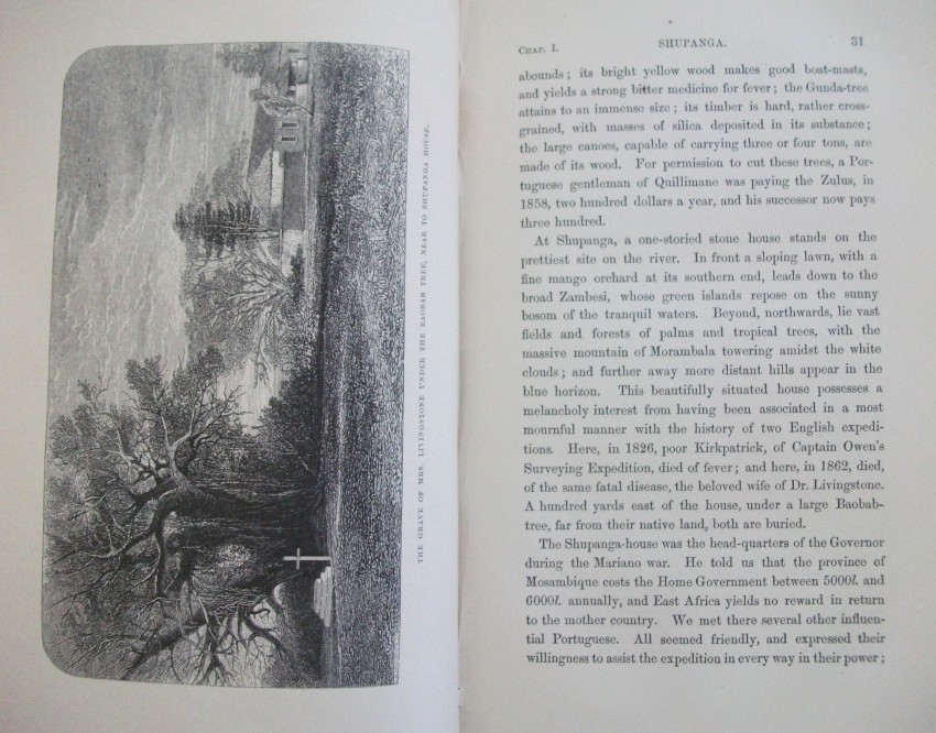
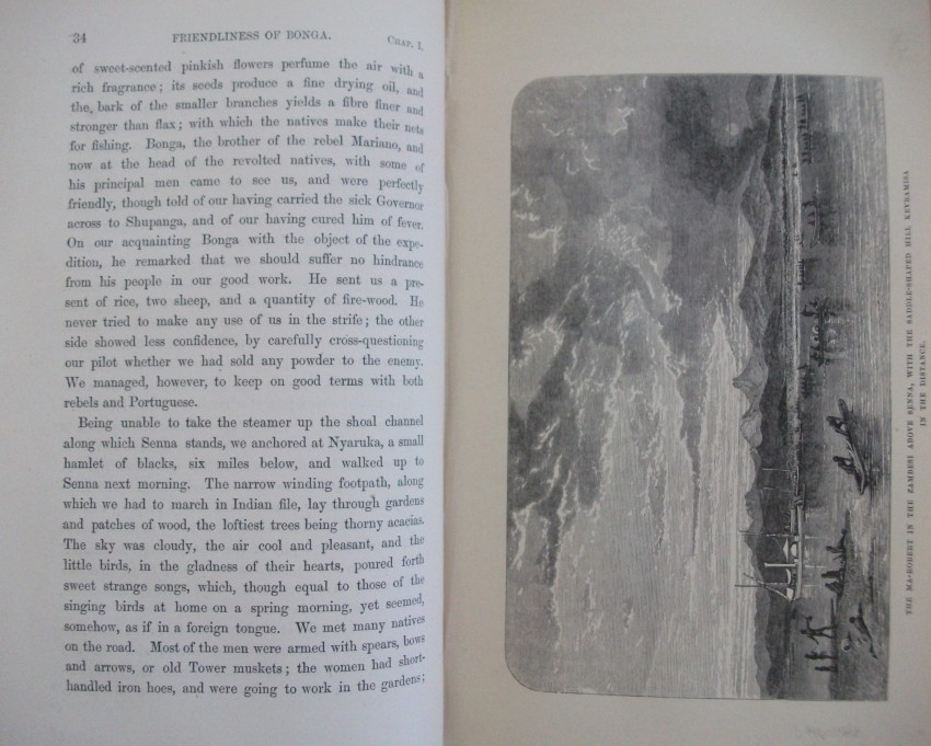
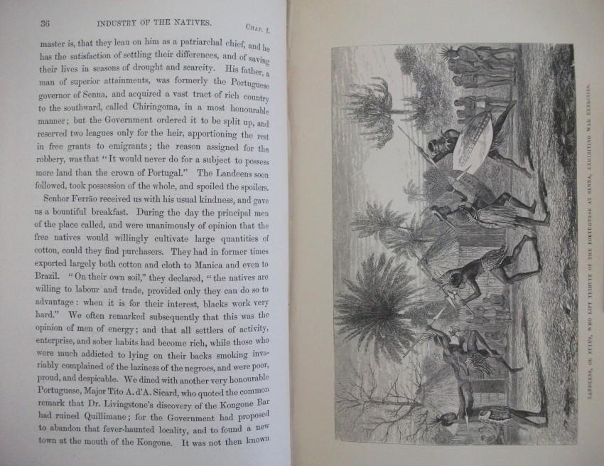
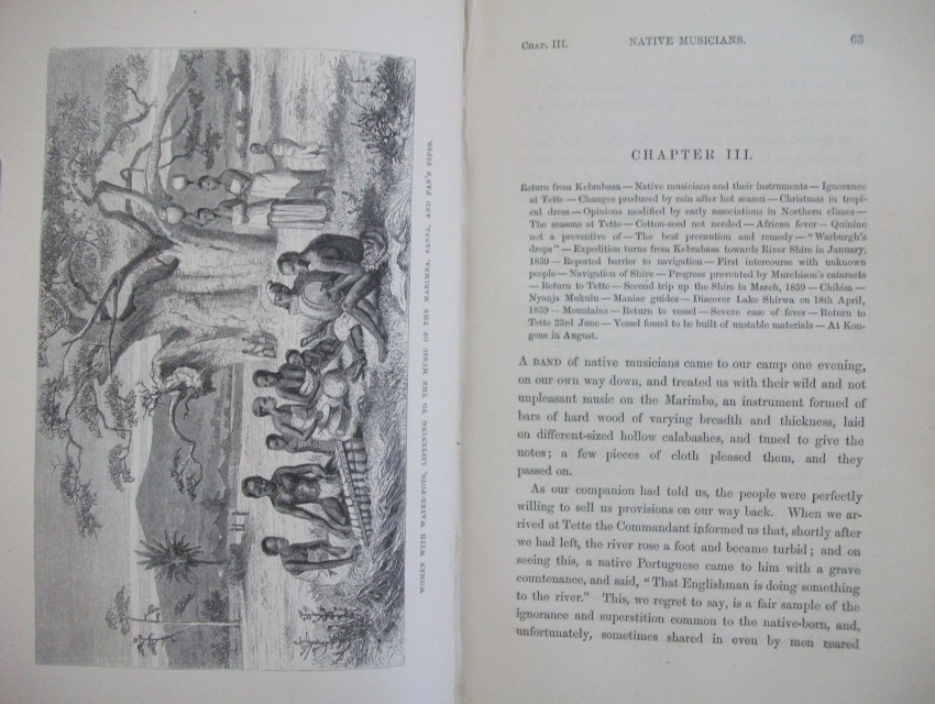
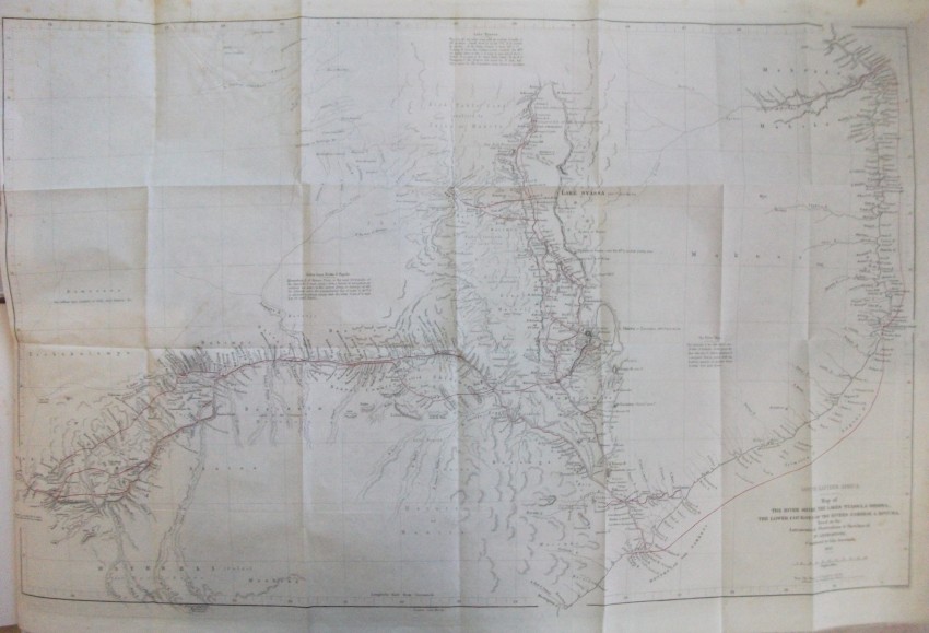
xv + 608 pp of text + 21 inserted lithographic plates + a further 13 illustrations in the text + a 24-fold 2-colour map bound in at the back. Some of J W Whymper's lithographs are from photographs by Charles Livingstone and Dr Kirk, while five are from original paintings by Thomas Baines - who were all members of the expedition. The map, "constructed by John Arrowsmith", shows "the River Shire, the Lakes Nyassa and Shirwa, and the Lower Courses of the Rivers Zambesi and Rovuma", and is "based on the Astronomical Observations & Sketches of Dr Livingstone", with "the route of Dr Livingstone and the Officers of the Expedition" printed in red.
The images confirm and augment the description and condition.
CONDITION NOTES. The spine has been expertly and almost invisibly strengthened. The upper cover corners are bumped and rubbed. The side panels are rubbed, the upper slightly and the lower more so. The binding remains tight but flexible, and the page edges are still bright. The endpapers have tape reinforcement at the spine and are unmarked. One of the folds of the frontispiece lithograph has been repaired. The title-page and other preliminary pages are unmarked and unfoxed. The rest of the contents - text and plates - is unmarked and undiscoloured except for about a dozen small foxing spots on the versos of some inserted plates and the front page-edge. The bound-in map at the back remains crisp - undamaged, unmarked and undiscoloured.
The copy should be compared with Lot 5 on Antiquarian Auction 52, the highest-priced copy yet sold on these auctions.
- Binding Condition: Very Good +
- Overall Condition: Very Good +
- Size: 220 x 155; 1.2 kg
- Sold By: Fontein Books
- Contact Person: Richard Proctor-Sims
- Country: South Africa
- Email: [email protected]
- Telephone: 051 773 0050/048 079 546 4032
- Preferred Payment Methods: Eft (South Africa), SWIFT (rest of world), or $ checks for US or Australian buyers
- Trade Associations: AA Approved


