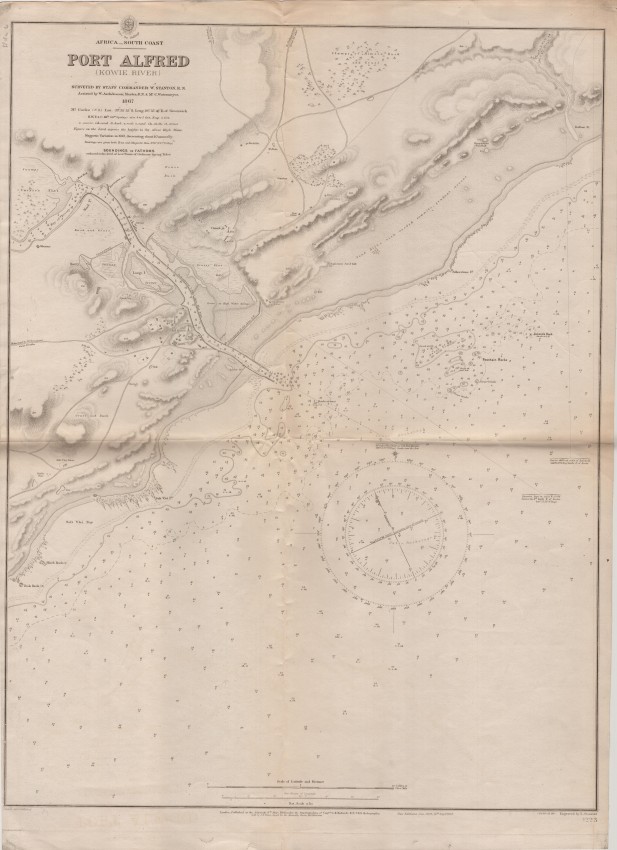
Folded British Admiralty chart of Port Alfred from a survey in 1869, nine years after the visit of Prince Alfred and the towns on either side of the river, Kowie and Frances, subsequently were united and renamed Port Alfred. This edition of the map was printed in 1912 - after updates to the survey. The harbour of Port Alfred was most active between the 1860s and 1890s. Some dirt along the fold line
- Overall Condition: Very good
- Size: 48 x 63 cm
- Sold By: Roger Stewart Antiquarian
- Contact Person: Dr. Roger Stewart
- Country: South Africa
- Email: [email protected]
- Telephone: +27836541081
- Preferred Payment Methods: LOCAL: EFT; INTERNATIONAL: Bank Transfer; Visa and Mastercard via PayFast
- Trade Associations: IMCOS

Similar lots in the current auction View all
Click on an item to view more details and to bid.


