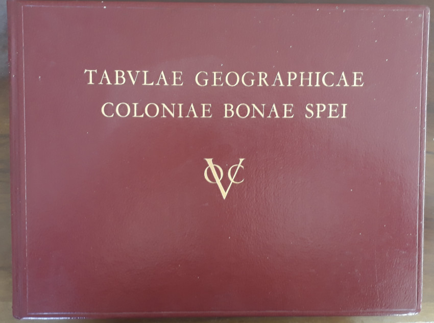


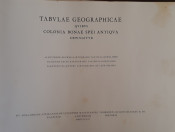
An excellent book in full red leather on early mapping of the Cape by the VOC (United Dutch East India Company).
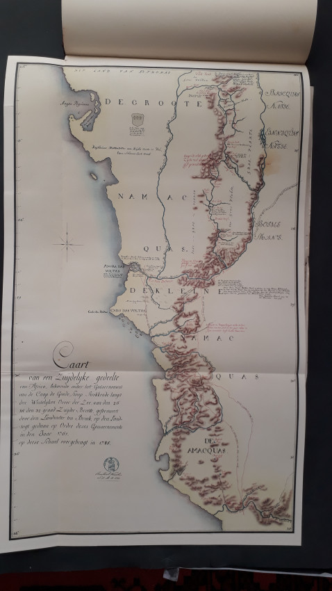
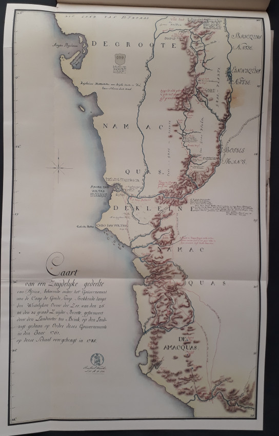
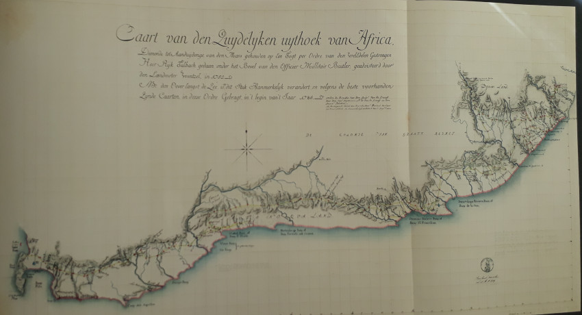
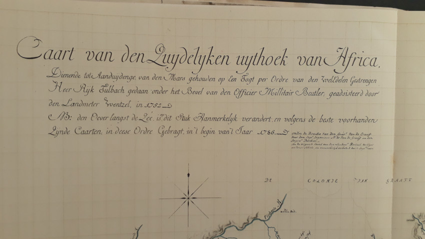
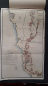
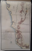
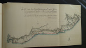
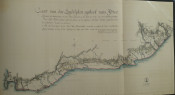
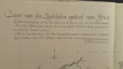
The book includes some of the earliest map of the Colony, drawn by VOC surveyors: Wentzel in 1752, the 1762 map by Brink, the 1776 map by Cloete, the 1779 map by Leysten, Friderici's map of the South Coast (1789); the Hydrographical map of the south Coast by F. R. Duminy (1787), John Barrow's map of 1801, Lichtenstein's map of 1812, and a large fold-out general map of the Cape Colony by Governor C. J. de Graaff (1785).
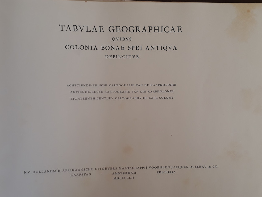
In 1950, Koeman rediscovered VOC maps in the Delft Archives. In the 1790s, they had been sent to the Netherlands for safe-keeing by Governor Van der Graaf. After the collapse of the VOC, they were forgotten ... until 1950. A selection of these manuscript maps have been beautifully reproduced in this book which was published to coincide with the Van Riebeeck Festival of 1952.
Pages [1-4]5-64; 40 pages of introductory and background material by Koeman. Ten large colour maps, some folding with detailed comparisons of the and illustration against modern map; also large facsimile of the general map of the Cape Colony by Governor van de Graaff (1785).
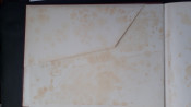
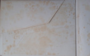
This large full-leather bound book has no dust jacket. There is some foxing of the end-papers and prelims, on some map fold lines and on the map in the rear pocket, but this has no or minimal effect on the illustrated maps. The maps are in fine to near fine condition.
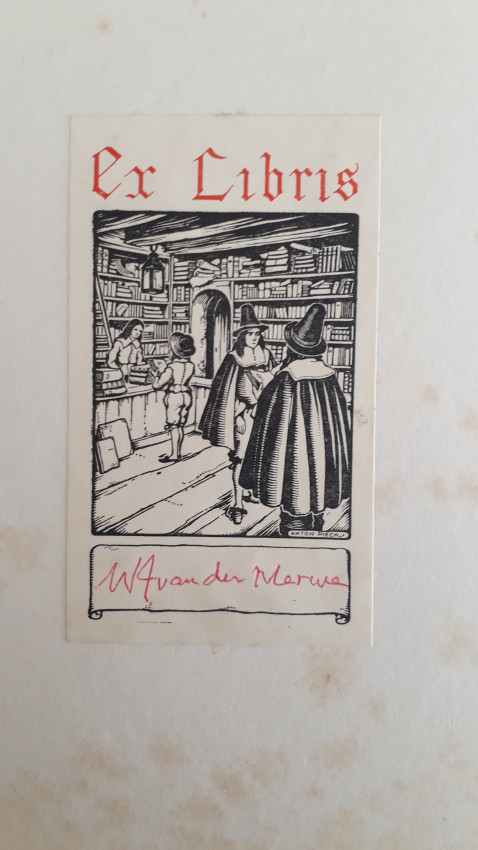
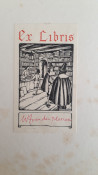
Bookplate and signed by W.J. Van der Merwe
- Jacket Condition: None
- Binding Condition: Very good
- Overall Condition: Fine
- Size: 304 x 403 x 20 mm
- Sold By: Roger Stewart Antiquarian
- Contact Person: Dr. Roger Stewart
- Country: South Africa
- Email: [email protected]
- Telephone: +27836541081
- Preferred Payment Methods: LOCAL: EFT; INTERNATIONAL: Bank Transfer; Visa and Mastercard via PayFast
- Trade Associations: IMCOS


