.jpg)

.jpg)
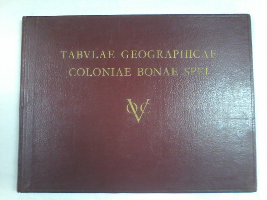
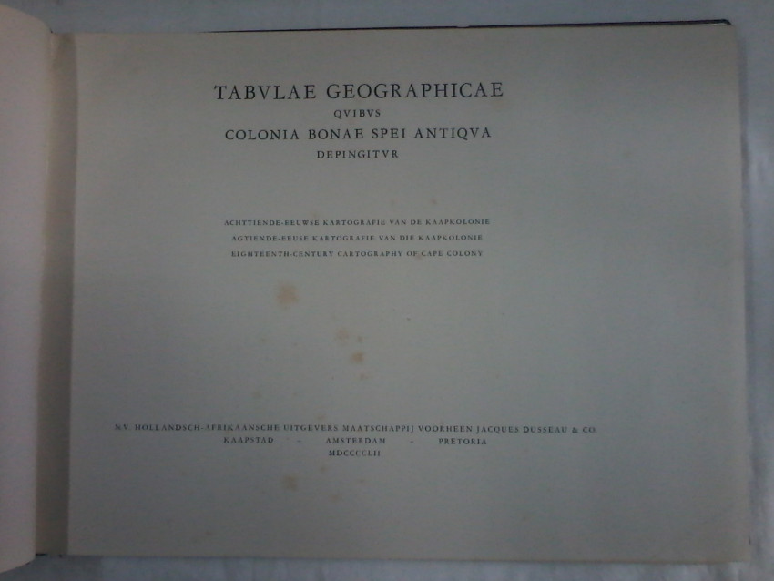
Tabvlae Geographicae Coloniae Bonae Spei, 18th century cartography of the Cape Colony published by Jaque Dusseau & C0. Amsterdam 1952, Author is the Royal Dutch Geographical Society.
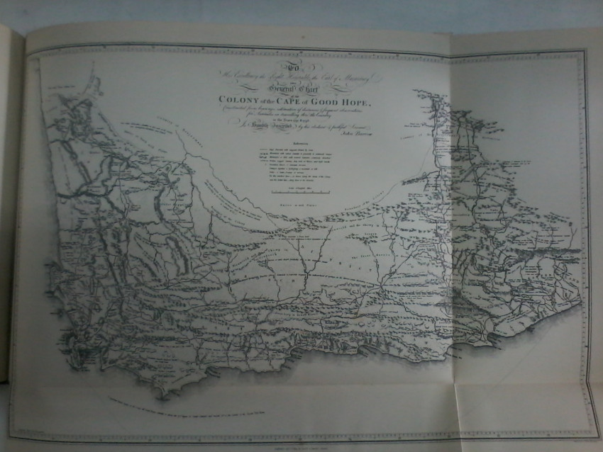
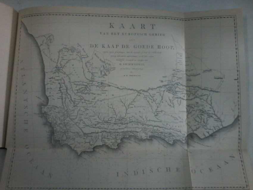
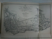
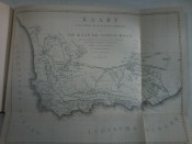
41 Pages text in Dutch, English and Afrikaans, 11 folding maps ( one map in pocket at the back of the book.)
Full leather, red with gilt lettering on upper cover.
Repair to corners of maps, pages 60,61, 58 and slight tear to page 51 map 5 cm. foxing on the front end paper. Professional re-cased. Ex library stamped on page 4.
These maps were only rediscover in 1950 and predates the only known reliable maps, dated at about 1800. The Dutch Governor van der Graaf had collected and stored these maps.
- Binding Condition: Good
- Overall Condition: Good
- Size: 30,5 cm x 40,5 cm
- Sold By: Hemingways Books
- Contact Person: Jenny Pote
- Country: South Africa
- Email: [email protected]
- Telephone: (+27)729337140
- Preferred Payment Methods: Bank Transfer, All Credit Cards via PayGate secure links.
- Trade Associations: SABDA


