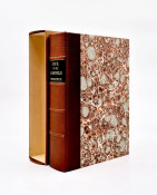


Landmark Atlas for tourists and immigrants published shortly before the Boer War, which put halt on tourism and immigration.
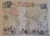
A beautiful atlas with superb chromolithographs that promotes South Africa as a desirable and exciting destination.
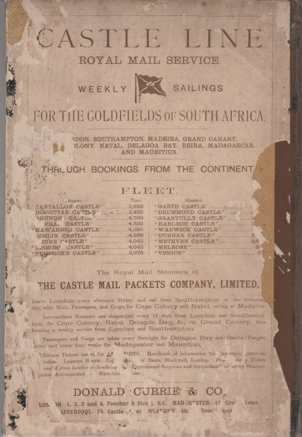
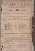
Introductory text is a fascinating snapshot of the country and its history. The maps are beautiful chromolithographs in excellent condition. Donald Currie is of Currie Cup fame: he owned the Castle Line (later Union Castle) and also the Mt. Nelson Hotel. The atlas was a complimentary gift to first class passengers on the outward bound voyage from Southampton to Cape Town.
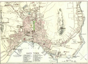
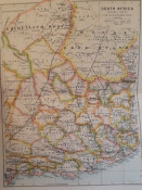
Maps include Africa south of the Zambesi, an ethnographic map of South Africa, detailed maps of Cape districts and Natal counties, maps of the main urban centres, the Boer republics, the Transvaal Gold Fields, the De Kaap and Moodie's Gold Fields, Matabeleland and Mashonaland, East Central Africa, including British Central Africa and Nyasaland.
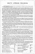
The opening chapters discuss 'A Land of Diamonds and Gold', 'The Country of the Veldt and the Karroo', 'A Land of Sunshine and Health', 'The Sportsman's Paradise', 'The People of South Africa', 'The Makers of South Africa', and 'The Story of South Africa'.
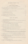
Cloth-backed pictorial papered boards - part of rear paper distressed. Covers browned and chipped; foxing of endpapers only. 47 pages, xv; 16 double-page map chromolithographs.
The pages of text and the maps are in excellent condition.
A wonderful Africana atlas.
- Binding Condition: Tight
- Overall Condition: Very good
- Size: 28x19cm
- Sold By: Roger Stewart Antiquarian
- Contact Person: Dr. Roger Stewart
- Country: South Africa
- Email: [email protected]
- Telephone: +27836541081
- Preferred Payment Methods: LOCAL: EFT; INTERNATIONAL: Bank Transfer; Visa and Mastercard via PayFast
- Trade Associations: IMCOS

Similar lots in the current auction View all
Click on an item to view more details and to bid.