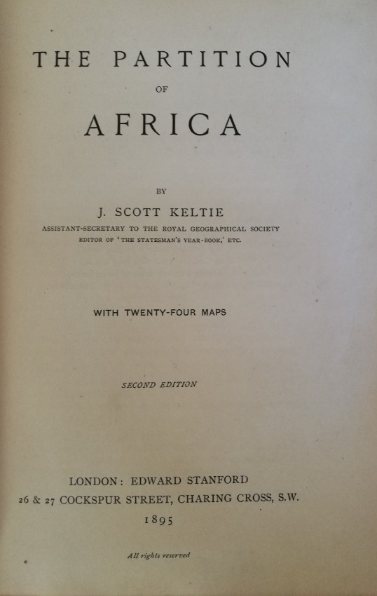
- green cloth-boards, gilt to upper panel and spine, plain endpapers, xvi + 564 pp of text and index + the following maps:
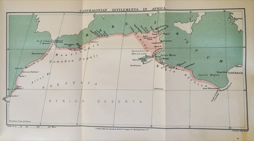
- Carthaginian Settlements on the Coast of Africa According to --
- Herodotus, 450 BC
- Eratosthenes, 200 BC (on one sheet with 2)
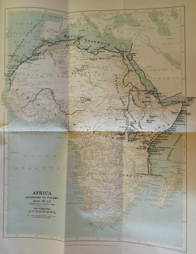
- Ptolemy, 150 AD
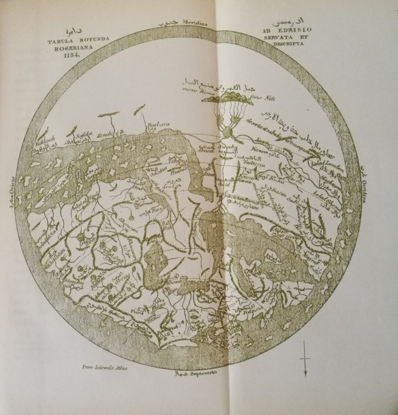
- Al Idrisi, 1154 AD (on one sheet with 4)
- Ptolemy, adapted to modern map
- Al Idrisi, reproduced from Lewel's Atlas
- Martin Behaim, 1492 AD
- Diego Ribero, 1529 AD
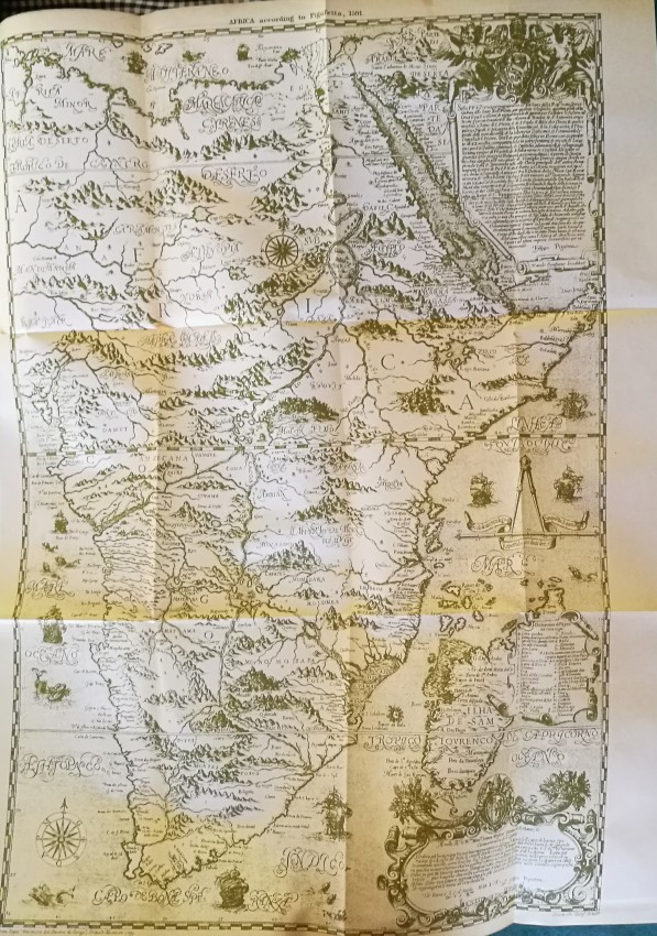
- Pigafetta, 1591 AD
- Jacob van Meurs, 1668 AD
- H Moll, 1710 AD
- C Smith, 1815 AD
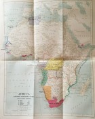
- Africa, showing European Possessions in 1884, before Berlin Conference
- Ditto, after Berlin Conference
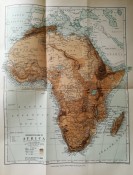
- Orographical Map of Africa
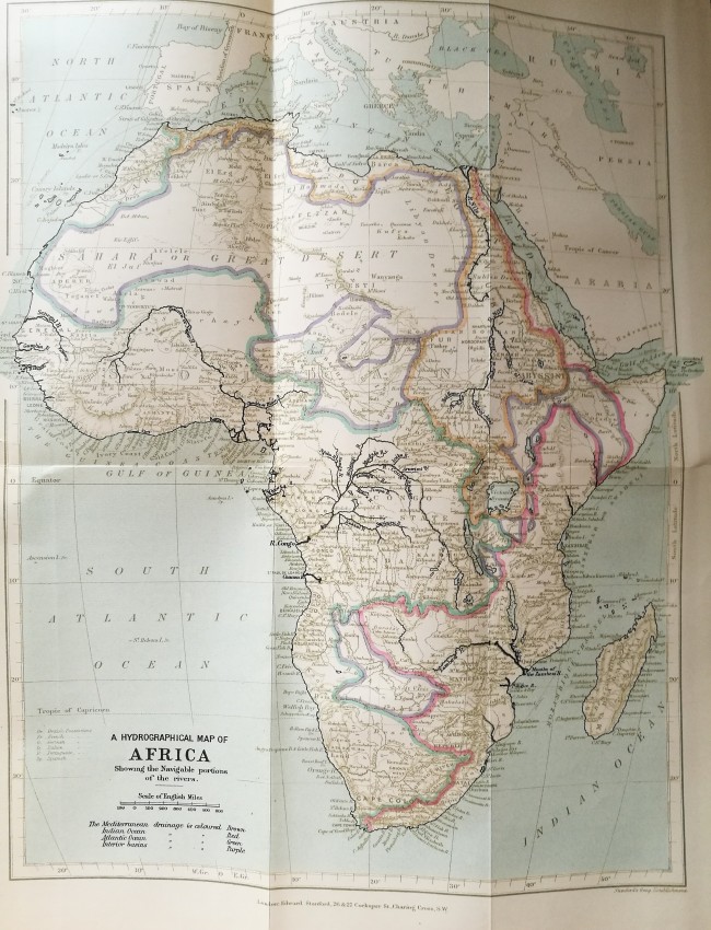
- Hydrographical Map of Africa, showing navigable waterways
- Temperate Map of Africa for January
- Ditto for July (on same sheet as 18)
- Mean Annual Temperature and Rainfall Map (on same sheet as 18)
- Vegetation Map of Africa (on same sheet as 18)
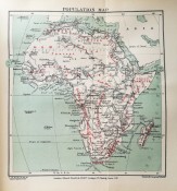
- Population Map of Africa
- Africa at the close of the Brussels Conference in 1890
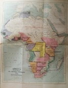
- Africa showing political divisions, 1895
- Binding Condition: Good +
- Overall Condition: Good +
- Size: 210 x 150 x 45; 1 kg
- Sold By: Fontein Books
- Contact Person: Richard Proctor-Sims
- Country: South Africa
- Email: [email protected]
- Telephone: 051 773 0050/048 079 546 4032
- Preferred Payment Methods: Eft (South Africa), SWIFT (rest of world), or $ checks for US or Australian buyers
- Trade Associations: AA Approved


