- "Price two shillings"
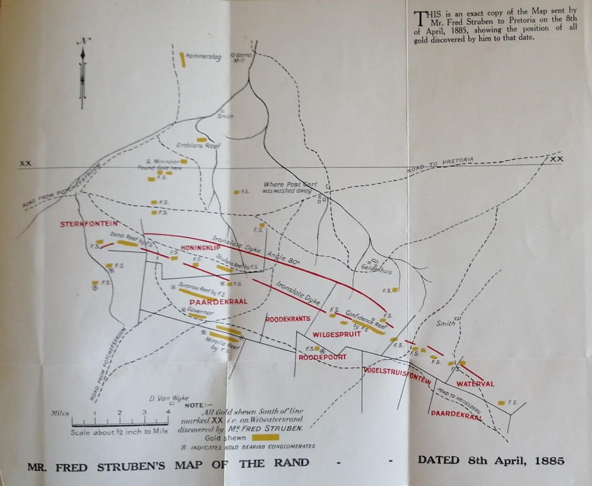
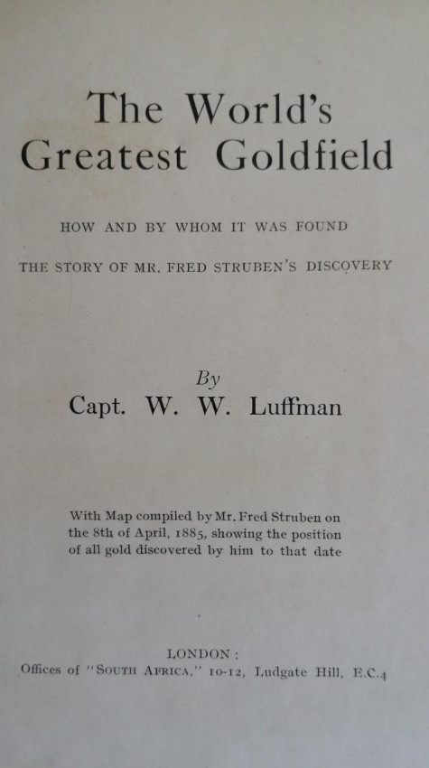
- The Map of the Rand "is an exact copy of the map sent by Mr Fred Struben to Pretoria on the 8th of April, 1885, showing the position of all gold discovered by him to that date"; it is printed in three colours at a scale of "about half an inch to the mile"; this 8-fold map is undamaged and in very good condition
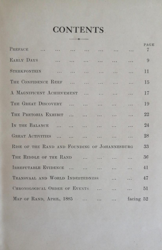
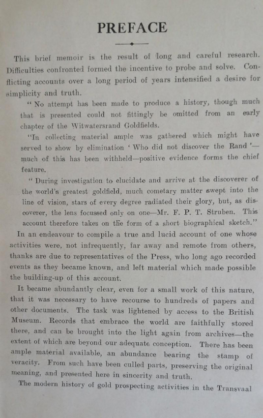
Yellow limp covers printed in black, plain endpapers, engraved portrait of Struben as frontispiece, 52 pp of text plus map described above (see images); no other illustrations
The copy is complete, unmarked, undiscoloured and in very good condition
- Binding Condition: Very Good
- Overall Condition: Very Good
- Size: 185 x 125
- Sold By: Fontein Books
- Contact Person: Richard Proctor-Sims
- Country: South Africa
- Email: [email protected]
- Telephone: 051 773 0050/048 079 546 4032
- Preferred Payment Methods: Eft (South Africa), SWIFT (rest of world), or $ checks for US or Australian buyers
- Trade Associations: AA Approved

Similar lots in the current auction View all
Click on an item to view more details and to bid.

.jpg)
.jpg)
.jpg)


.jpg)


