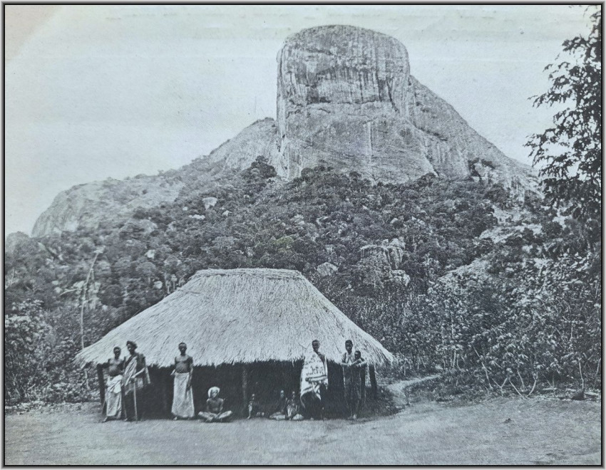


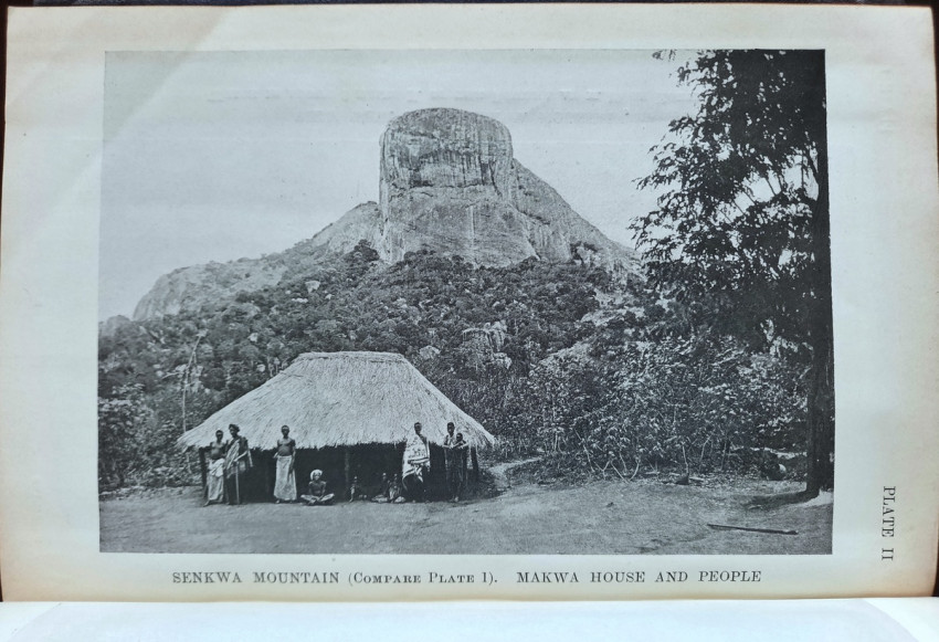
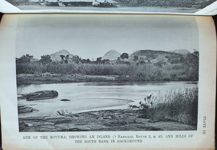
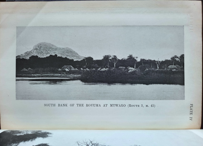

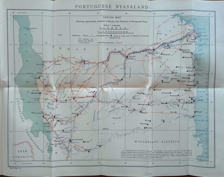
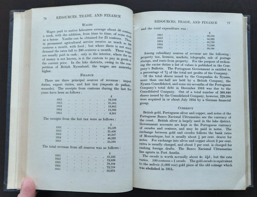

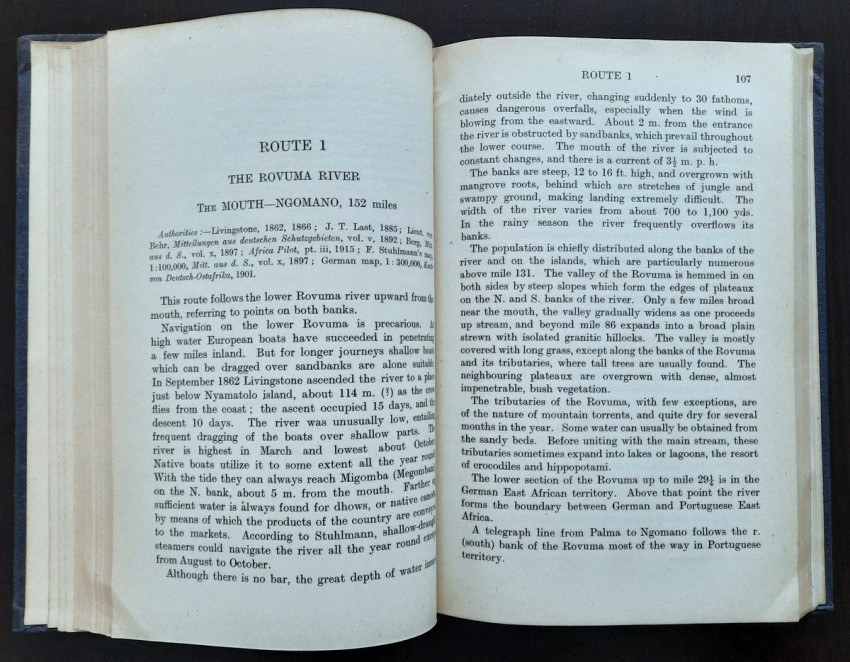
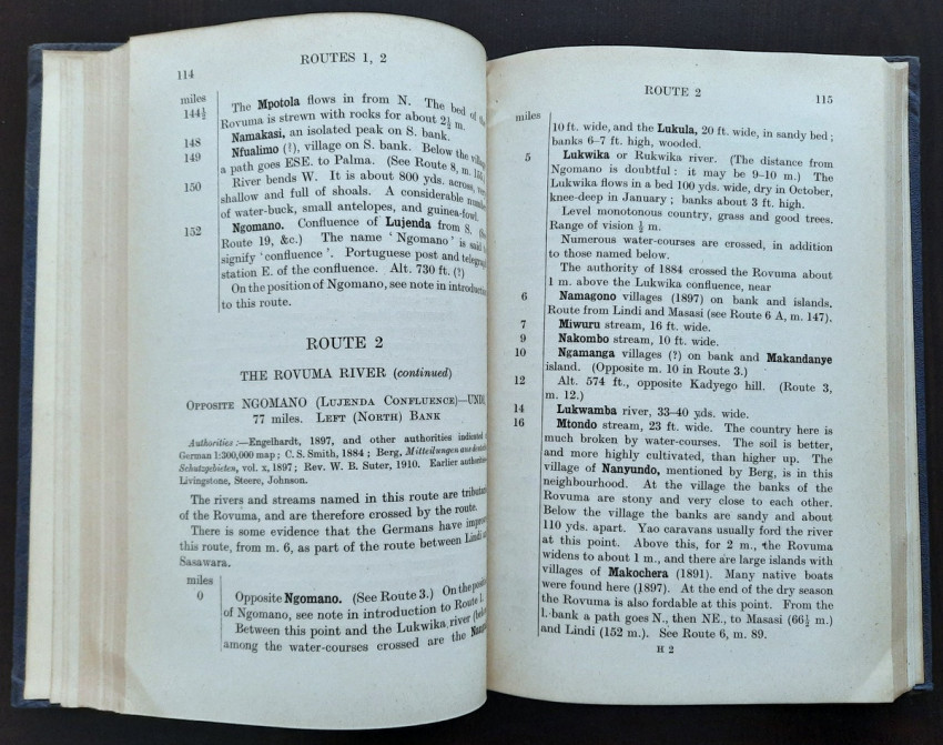
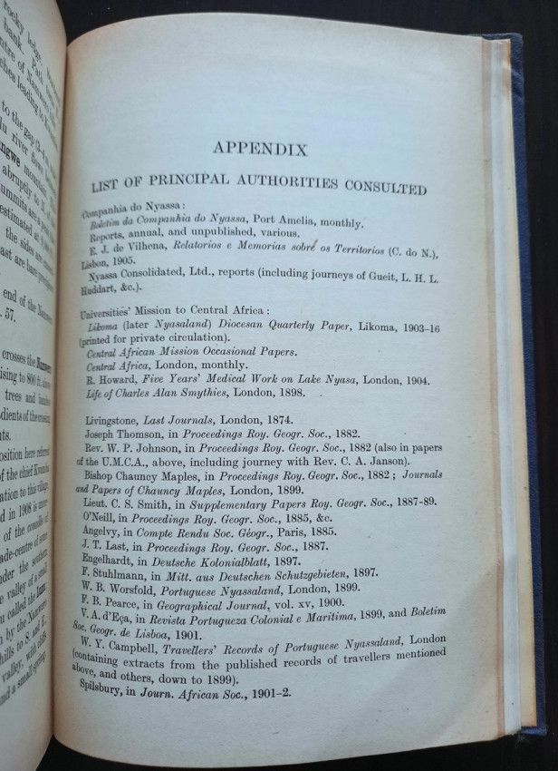

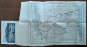

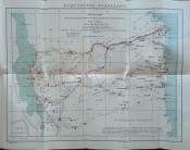


Compiled by the Geographical Section of the Naval Intelligence Division, Naval staff, Admiralty. A naval intelligence report covering geography, ethnography, history, resources, communications, health, etc. With 12 photographic plates on 6 leaves and the colour folding map bound at rear (41 x 34 cm) showing settlements, road communications and rivers.
Portuguese Nyasaland was the region lying between Lake Nyasa and the Indian Ocean which became the northern part of Portuguese administered Mozambique (not to be confused with British Nyasaland which is Malawi today and lies to the west of Lake Nyasa).
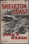
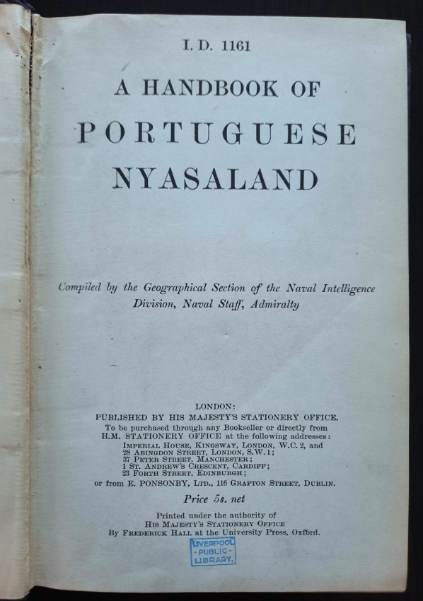
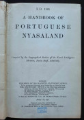
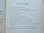
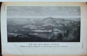
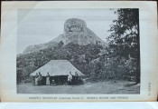
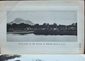
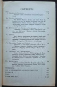
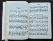
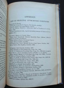
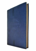
"[I.D. 1161]. A Handbook of Portuguese Nyasaland. Compiled by the Geographical Section of the Naval Intelligence Division, Naval staff, Admiralty."; Publisher's blue cloth covered hard boards. Gilt title to spine; Text in English; Collation complete – Title page, [9], 250 pages, with 12 photographic plates on 6 leaves, folding map, including Index; Ex-libris Liverpool Public Library with oval library blind stamp to both boards, white ink shelf number added to the spine and small blue ink stamp throughout, library label to the rear paste down. Binding is tight and firm, with usual shelf wear, little rubbed, extremities with some bumping. Spine tanned, a short cloth tear to the upper front and bottom rear joints. Otherwise joints and hinges are whole and secure. Boards little smudged and discolourated. Other than the library markings througout, pages/text block clean inside, with some age tanning to the white margins, no foxing or other markings throughout. Overall a very good copy.
IMPORTANT information regarding shipping: Shipping to South Africa possible via national post ($40) or DHL Express service ($80-120). Shipping to EU & UK via registered Airmail trackable parcel ($30-40). Shipping to US via Fedex ($80-120). For other countries please ask.
- Binding Condition: Good
- Overall Condition: Very good
- Size: 18,5 x 12,5 cm
.jpeg)