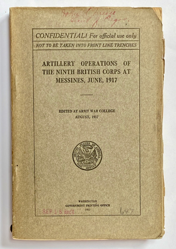
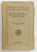
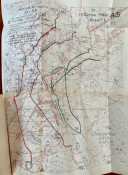
Washington: Government Printing Office, 1917, 1st edition, original heavy paper wraps, 19.5x13cm, pp. 124 + 4 fold-out photos and 12 folding maps; condition VG++ with light wear to wraps, old faded owner's inscription in red ink to front cover, contents Near Fine with the maps in perfect condition - as new, with the fold lines crisp and fresh.
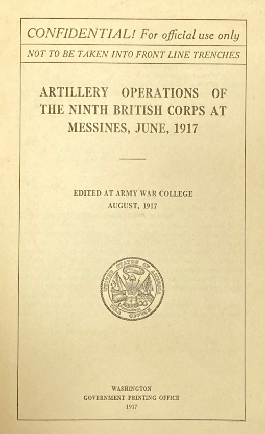
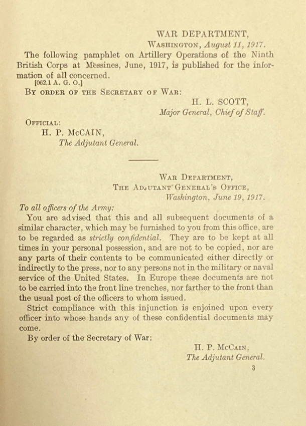
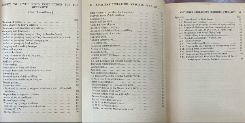
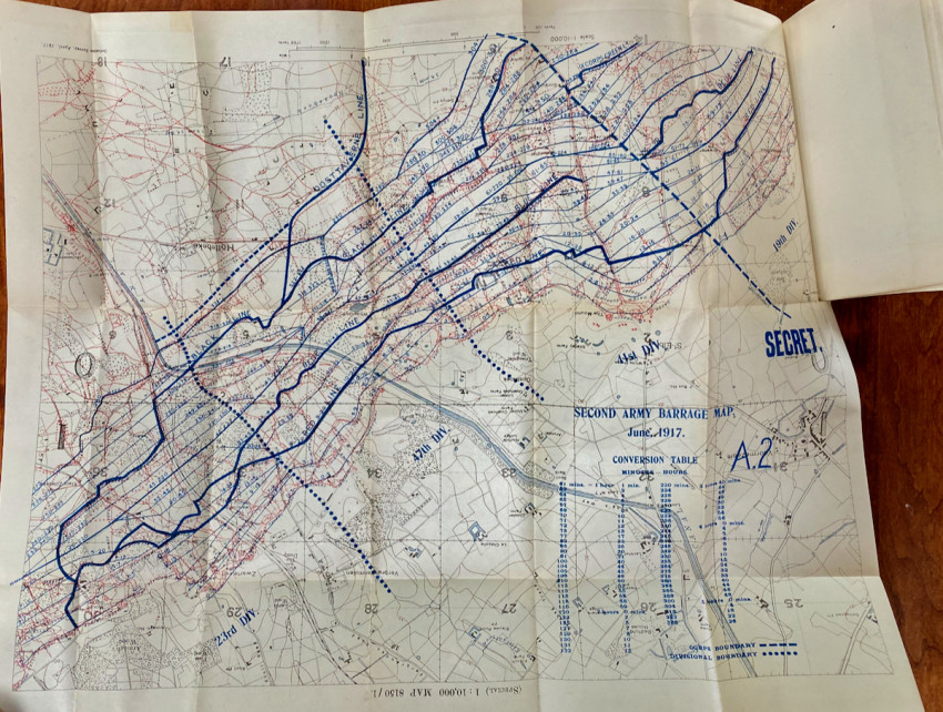
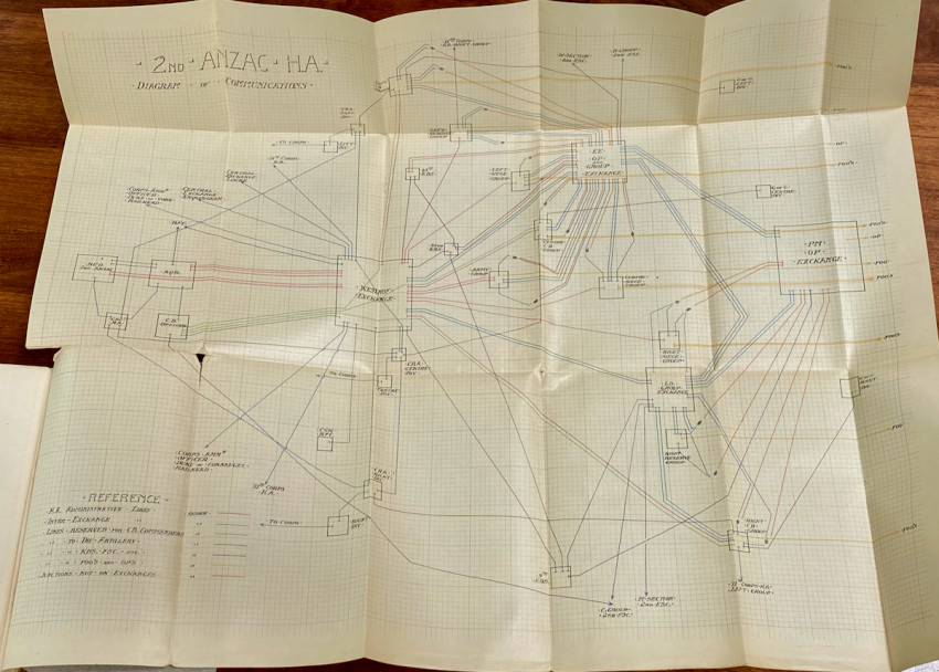
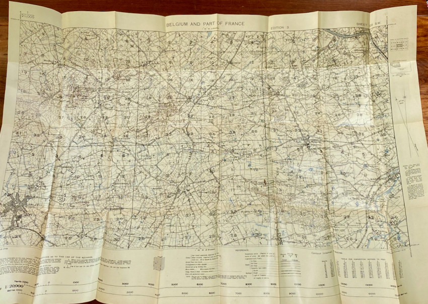
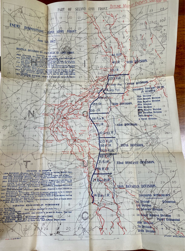
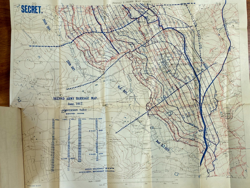
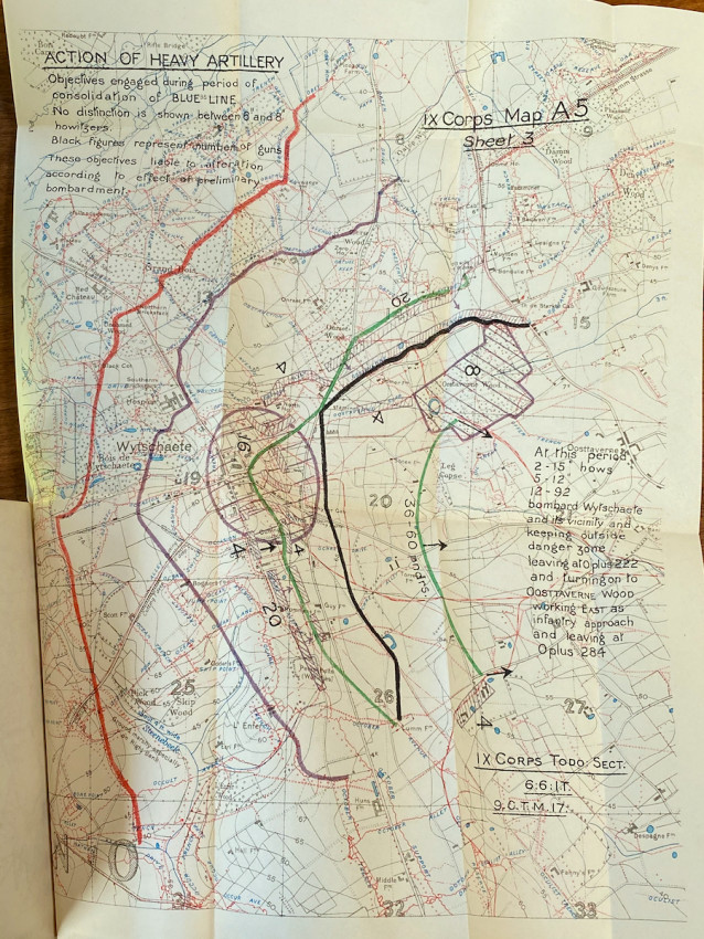
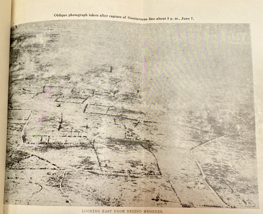
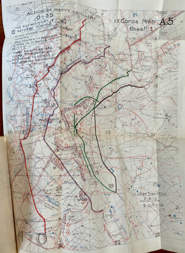
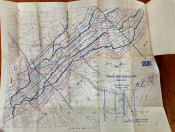
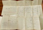
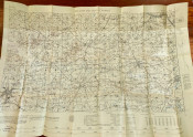
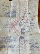
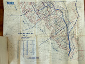
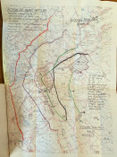
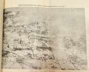
This scarce work was printed for the use of officers only, with strict instructions to keep it confidential: NOT TO BE TAKEN INTO FRONT LINE TRENCHES. Edited by the U.S. Army War College, it details tactical plans, heavy gun organization, and bombardment methods at the battle of Messines. There are four b/w photos of the battlefield and 12 maps, some in color. All are fold-out, including the photos, with the largest map measuring 34 x 25 inches.
The Western Front of 1914-18 was characterized by a continual series of bloody stalemates, with the Battle of Messines (7-14 June 1917) a rare example of a successful offensive. Launched by the British Second Army under General Sir Herbert Plumer, the battle began with the detonation of 19 giant mines beneath the German front position. (Royal Engineer tunneling companies had spent the previous year planting the mines deep under German lines.) Detonated simultaneously, the ensuing blast created 19 large craters, instantly killed about 10,000 German soldiers, and was heard as far away as London and Dublin. Determining the exact power of explosions is difficult, but this was almost certainly the largest planned explosion in history until the 1945 Trinity atomic weapon test; it killed more people than than any other non-nuclear, man-made explosion in history.
Ships from the United States.
- Binding Condition: VG
- Overall Condition: VG+
- Size: 19.5x13cm