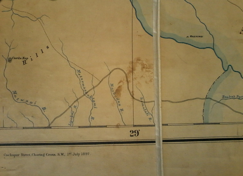
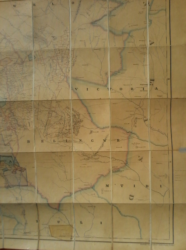
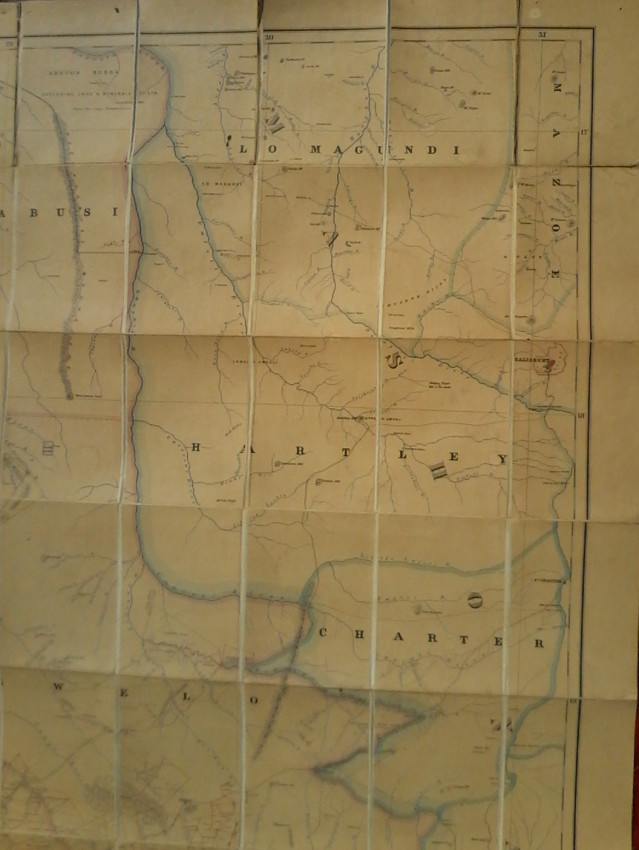
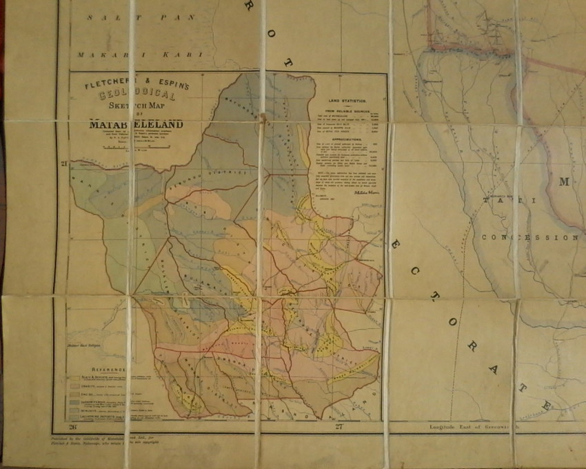
Geological Sketch Map Of Matabeleland in 2 parts, East And West . The individual maps are 2 meters by 1 meter in size and linen backed. ( Folding maps. ) Published by the Goldfields of Matabeleland for Fletcher & Espin who retain the sole copyright, 1897, Bulawayo.
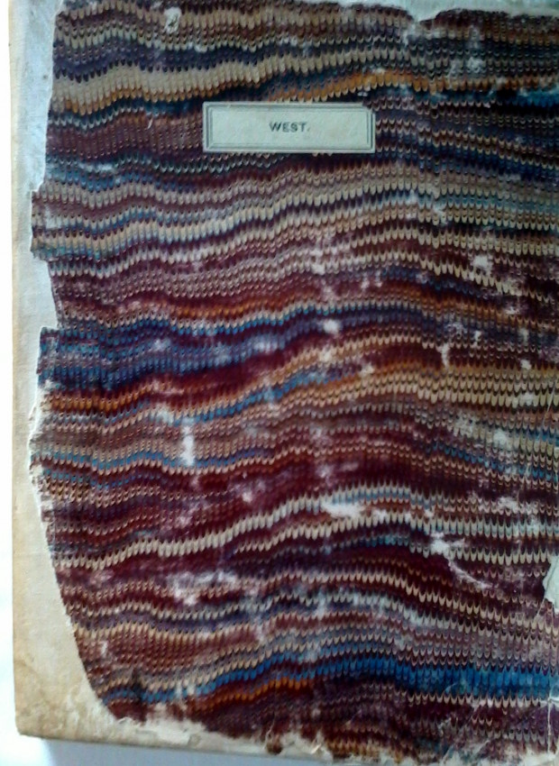
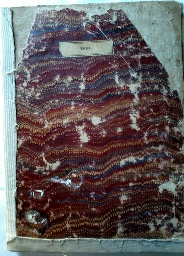
The two part folding maps, labeled East and West with worn marbled front and back covers.
Repairs were done at some stage to the worn edges.
The maps were compiled by Fletcher and Espin from authenticated material available at the time of publication.
- Binding Condition: Good
- Overall Condition: Good
- Size: 2 m x 2 m
- Sold By: Hemingways Books
- Contact Person: Jenny Pote
- Country: South Africa
- Email: [email protected]
- Telephone: (+27)729337140
- Preferred Payment Methods: Bank Transfer, All Credit Cards via PayGate secure links.
- Trade Associations: SABDA


