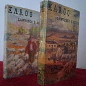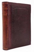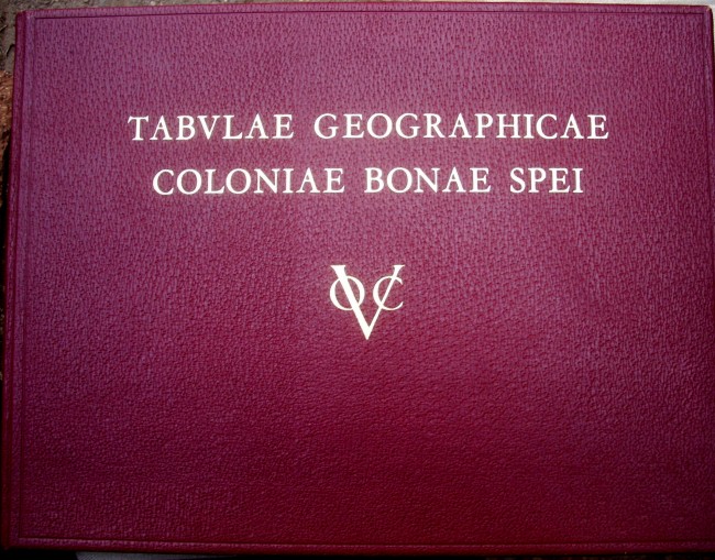
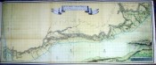
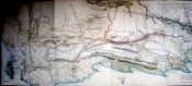

N.V.Hollandsch-Afrikaansche Uitgevers Maatschappij Voorheen Jacques Dusseau & Co., Amsterdam, dark red skivertex boards, text in Dutch, Afrikaanse and English., large fine fold-out maps in colour, maps by Wentzel, Ten Brink, Cloete, Friderici, Duminy, Barrow, Lichtenstein & van de Graaff. Maps fold-out to 700mm width 300mm height, loose map in back pocket is an exquisite Cape Colony Carte, 1500 x 590mm. 405 x 310mm, condition: very good.
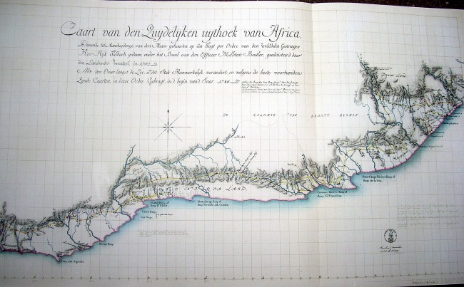
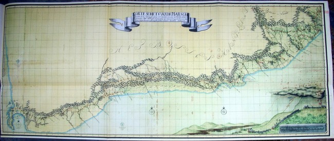
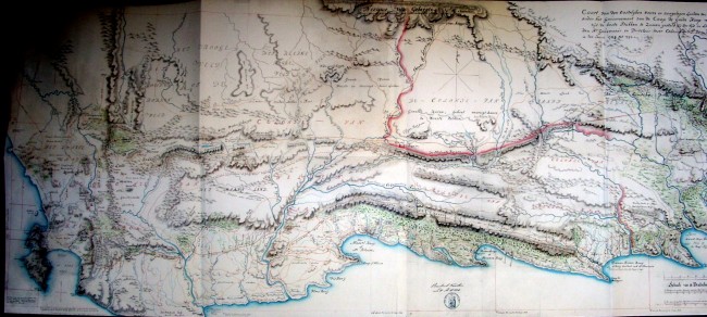
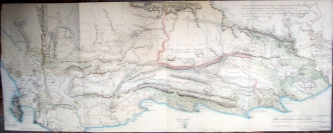
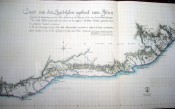
In October 1950 a cache of unknown eighteenth century Cape Colony maps was discovered, that is the cartographic material achieved during governor C.J. van der Graaff’s tenure in the Cape Colony, and known as the van der Graaff collection. The governor having sprinted them away to Holland at the end of the Dutch occupation, well knowing their military value to the British.
These maps with the governor's mark had been in the Dutch archives and this resulting cartographic album was commissioned by The Van Riebeeck Commemoration committee in 1952. The album includes maps by Leysten and Cloete, and the first survey map of the Cape Colony. It presents a picture of the work done by Dutch surveyors exploring the South African subcontinent in the eighteenth century.
- Binding Condition: Very good
- Overall Condition: Very good
- Size: 405 x 310mm
- Sold By: The Old Limpopo Curiosity Shop (research bookshop)
- Contact Person: Mark Inman
- Country: South Africa
- Email: [email protected]
- Telephone: 011 888 2067
- Preferred Payment Methods: Paypal. EFT. direct deposit. cheques.
- Trade Associations: AA Approved

Similar lots in the current auction View all
Click on an item to view more details and to bid.