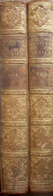

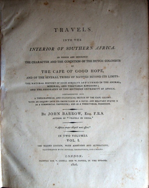

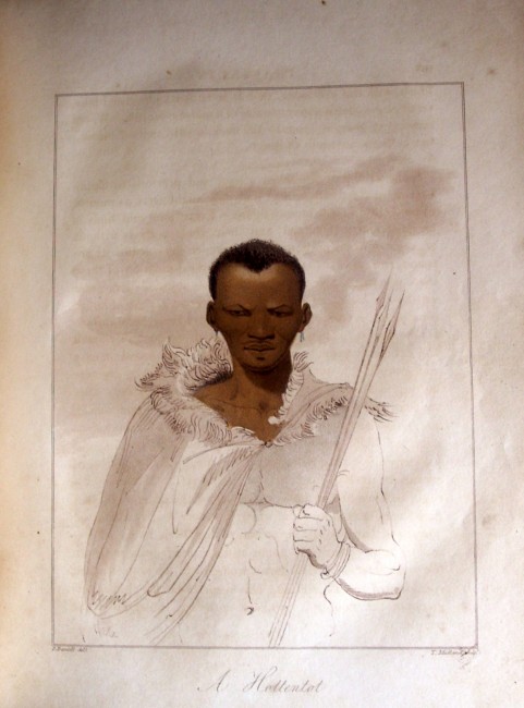


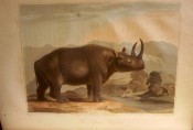
Two Volumes, second edition, with additions and alterations, illustrated with several engravings and charts, T.Cadell and W.Davies, in The Strand , bookplate, leather boards with raised bands on spine with floral motifs and lettering in gilt, all eight hand-coloured plates by Samuel Daniell are present in the first volume, also the three folding maps in the second volume are present, index, 215 x 265mm, some age-marks (brown) on maps and adjacent text blocks, also some tears and tape (on reverse) of South Africa map, condition:good to very good.
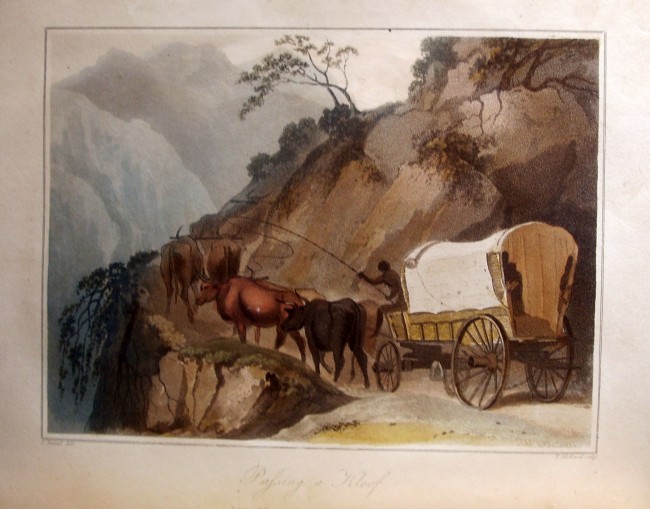
Sir John Barrow was private secretary to the Governor of the Cape of Good Hope, Lord Macartney, and in this capacity produced satisfactory maps of the regions he visited. His expedition to Graaff-Reinet in 1797 took in the Zuurveld and the territory ruled over by Gaika, paramount chief of the Xhosa. He also transversed the Zwartruggns, crossed the Sundays, Bushmans and Assegaaibos Rivers and reached Algoa Bay.
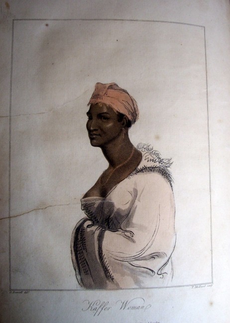
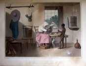
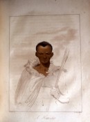
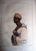
On another expedition he struck northwards into Bushman territory and explored the Sneeuwberg reaching the Orange River. As private secretary his wanderings had a political dimension but he was a keen observer, examining Bushman paintings (rock engravings), making topological observations and writing tribal reports. The result of these ' researches' are contained here (volume one:1801, volume two:1804). Barrow laid the foundation for South African geographical research. (Reuben Musiker, Deputy Librarian, 1961-1972, Rhodes University) [V.S. Forbes; The Expanding Horizon: a geographical commentary upon routes, records, observations and the opinions contained in selected documents concerning travel at the Cape (1750-1800)].
Barrow later had a role in the founding of The Royal Geographical Society.
This second edition has the Daniell plates and hand-coloured maps not present in the first volume.
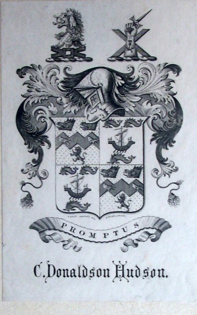
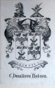
The bookplate is that of Charles Donaldson-Hudson (1840-1893), High Sheriff of Shropshire and Member of Parliament for Newcastle-under-Lyme .
- Binding Condition: very good
- Overall Condition: good
- Size: 215 x 265mm
- Sold By: The Old Limpopo Curiosity Shop (research bookshop)
- Contact Person: Mark Inman
- Country: South Africa
- Email: [email protected]
- Telephone: 011 888 2067
- Preferred Payment Methods: Paypal. EFT. direct deposit. cheques.
- Trade Associations: AA Approved

Similar lots in the current auction View all
Click on an item to view more details and to bid.