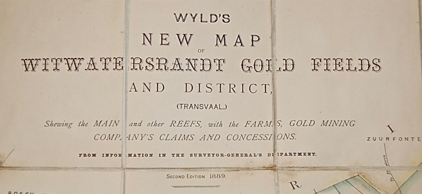
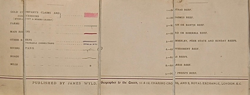
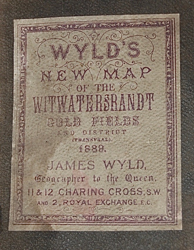
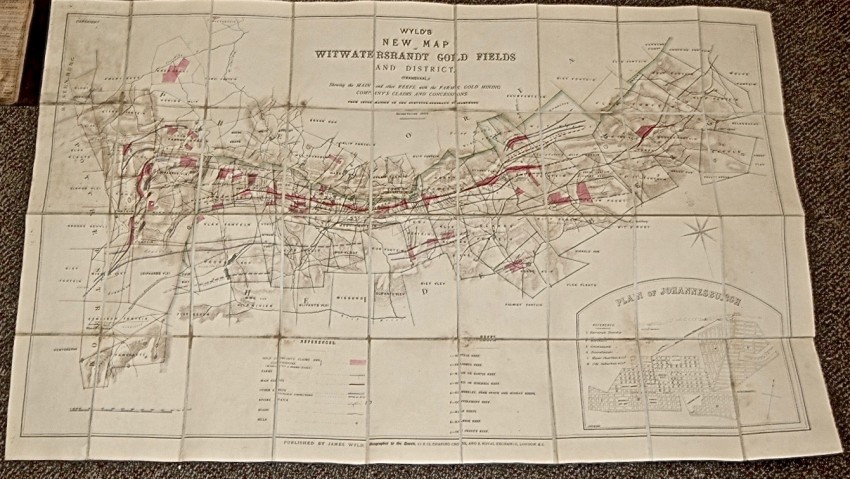

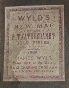
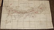
One of the first maps of the newly developed gold fields. Measures 103 cm x 60 cm, 36 folding panels mounted on linen, vividly coloured. In a somewhat worn brown cloth case. A scarce map of the new gold fields, first discovered in 1886, by the mapmakers under James Wyld (1812-87), one of the world's leading mapmakers and Geographer to the Queen. Bright and sound. Scarce.
- Sold By: Trillium Antiquarian Books - SA
- Contact Person: William Van Nest
- Country: Canada
- Email: [email protected]
- Telephone: 705-749-0461
- Preferred Payment Methods: cheque, money order, Paypal for credit cards, wire
- Trade Associations: IOBA


