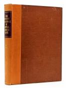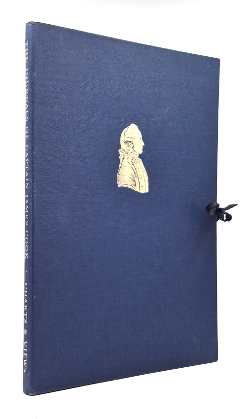
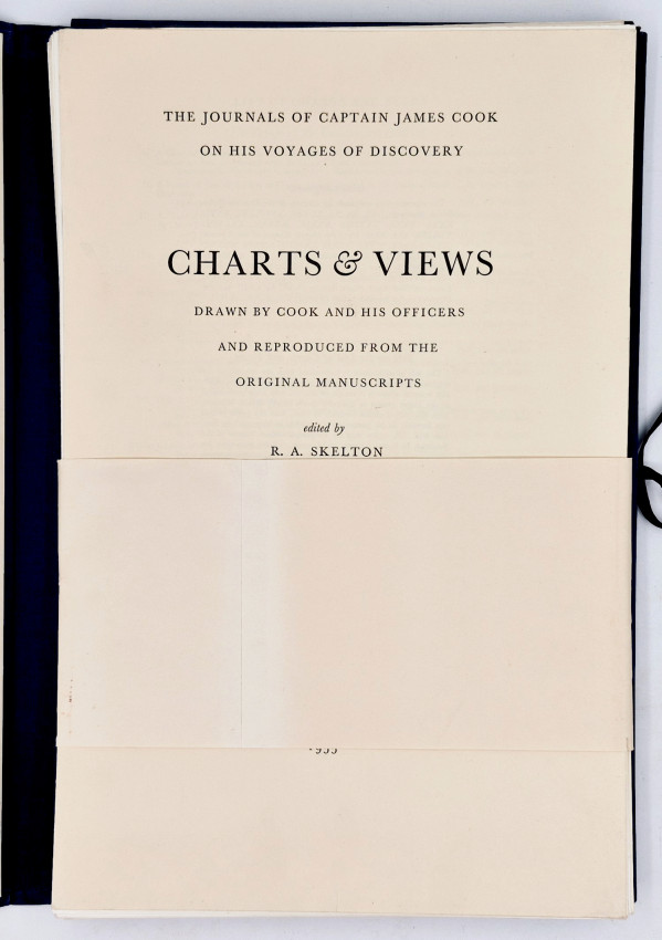
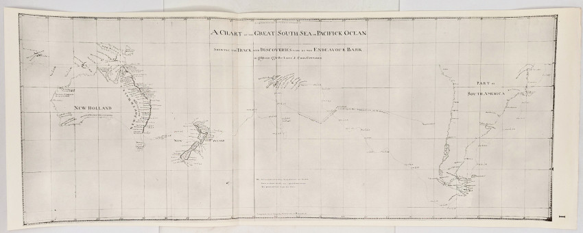
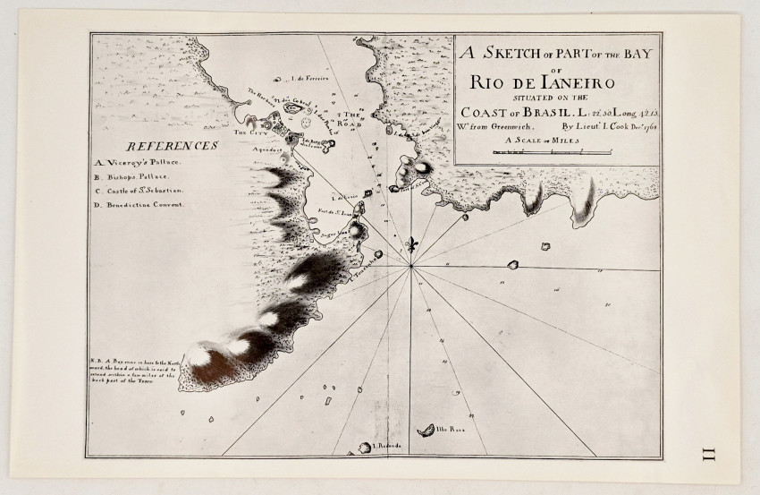
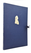
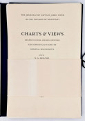
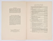
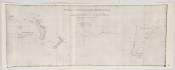
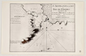
First edition: viii, 58 individual plates – charts, plans, profiles and views, some folded, housed in a blue cloth portfolio with a gilt vignette of Cook on the upper cover and titled gilt on the spine, with blue cord ties.
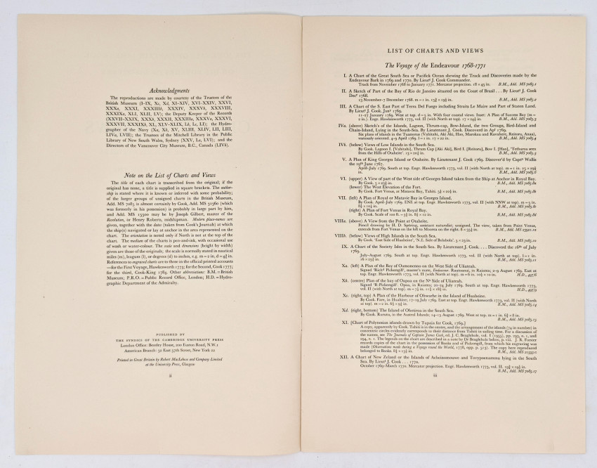
Note on the List of Charts and Views:
The title of each chart is transcribed from the original; if the original has none, a title is supplied in square brackets. The authorship is stated where it is known or inferred with some probability; of the larger groups of unsigned charts in the British Museum, Add. MS 7085 is almost certainly by Cook, Add. MS 31360 (which was formerly in his possession) is probably in large part by him, and Add. MS 15500 may be by Joseph Gilbert, master of the Resolution, or Henry Roberts, midshipman. Modern place-names are given, together with the dates (taken from Cook's Journals) at which the ship(s) navigated or lay at anchor in the area represented on the chart. The orientation is noted only if North is not at the top of the chart. The medium of the charts is pen-and-ink, with occasional use of wash or water-colour. The scale and dimensions (height by width) given are those of the originals; the scale is normally stated in nautical miles (m), leagues (l), or degrees (d) to inches, e.g. m = 2 in, d = 4¾ in. References to engraved charts are to those in the official printed accounts—for the First Voyage, Hawkesworth 1773; for the Second, Cook 1777; for the third, Cook-King 1784. Other abbreviations: B.M. = British Museum; P.R.O. = Public Record Office, London; H.D. = Hydrographic Department of the Admiralty.
- Overall Condition: Very good
- Size: Folio (400 x260mm)