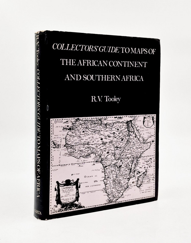
First Edition, with the variant dust jacket: 132 pages + 100 plates of maps, colour frontispiece map, numerous illustrations of maps, green cloth, a very good copy in the dust jacket.
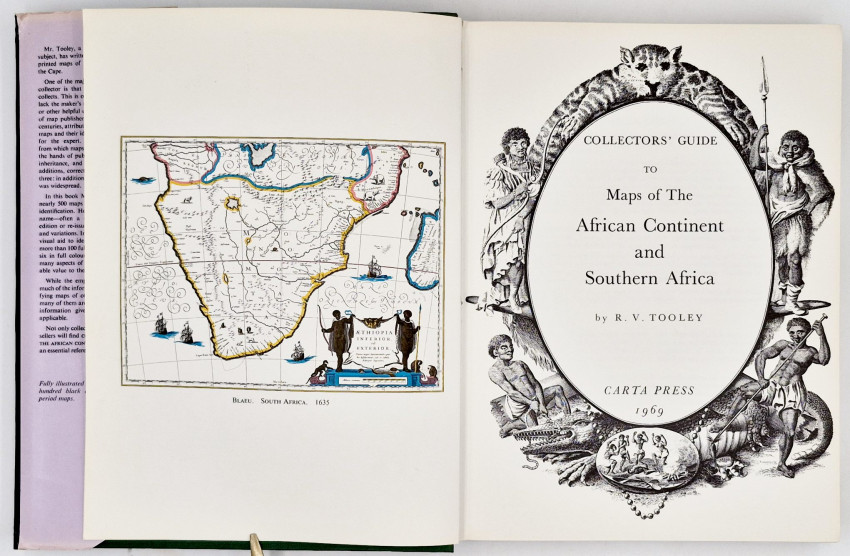
Editor's Note: 'Mr. Tooley, a recognised authority on the subject, has written this book for collectors of printed maps of Africa, Southern Africa and the Cape.One of the major problems confronting the collector is that of identifying the maps he collects. This is often difficult, for many maps lack the maker’s name, the date, the publisher or other helpful detail. Owing to the practices of map publishers in the 16th, 17th and 18th centuries, attributions of a very large number of maps and their identification is today a matter for the expert. The original metal plates from which maps were printed often came into the hands of publishers either by purchase or inheritance, and were changed by deletions, additions, corrections or a combination of all three: in addition, plagiarism, seldom accurate, was widespread.
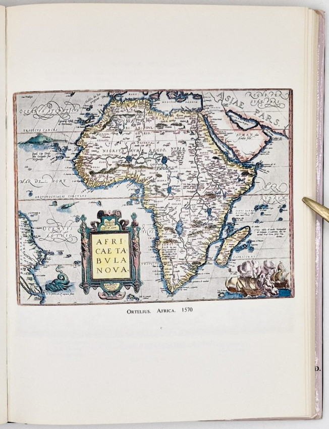
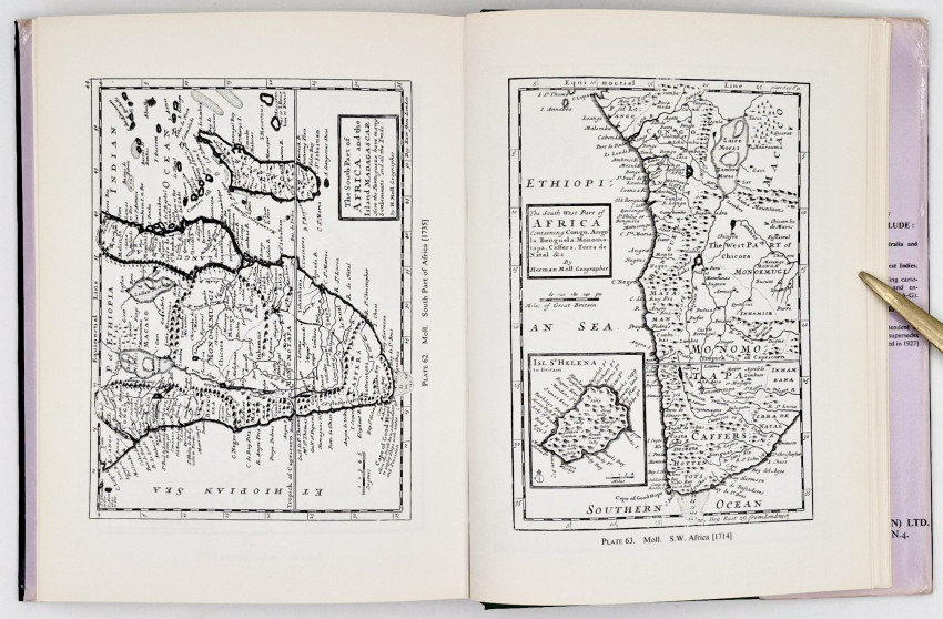
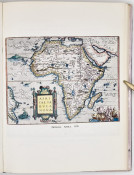
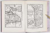
'In this book Mr. Tooley lists and describes nearly 500 maps in such detail as to facilitate identification. He gives the full title, maker's name—often a short biography—size, date, edition or re-issue, significant internal changes and variations. In addition, as an indispensable visual aid to identification the book contains more than 100 full-page reproductions of maps, six in full colour. The Introduction discusses many aspects of map production of considerable value to the collector.'
- Overall Condition: Very good
- Size: 4to (250 x 200 mm)