Antique Maps & Atlases - Auction #56 Results
To search past auctions please use the advanced search.
Lot 19
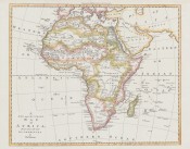
Thomas Bowen
New and Accurate Map of Africa
drawn from the best authorities by Thos. Bowen
Lot 20
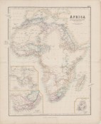
George Swanston
Africa to May 1858
with discoveries of Livingstone, Barth, Vogel, & of the Chadda Expedition, from documents in possession of The Royal Geographical Society.
Lot 23
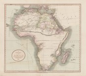
John Cary
A new map of Africa
from the latest authorities by John Cary: engraver 1805.
Lot 25
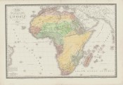
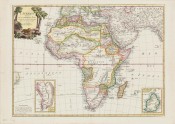
Adrien Hubert Brué
Carte physique et politique de l'Afrique
Lot 28
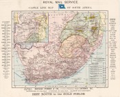
Castle Line
Castle Line map of South Africa
Best route to the goldfields
Lot 29
Francesco Santini
Afrique divisee en ses principaux etats
Assujettie aux Observations Astronomique
Lot 31
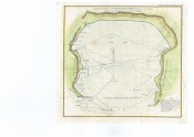
John Barrow
Baie False
au Cap de Bonne Espérance aves les Sondes; Levée en 1797 par l'orde du Contre-Amiral Pringle
Lot 33
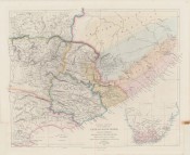
John Arrowsmith
Eastern Frontier of the Colony of the Cape of Good Hope,
(and part of Kafirland) From Algoa Bay to the Great Kei River. Chiefly from M.S. Surveys & Sketches communicated by L.t. Col. Michell Surv. Genl. of the Colony
Lot 34
John Barrow
Map of the coast of Africa
From Table Bay at the Cape of Good Hope to Saldanha Bay
Lot 39
John Luffman
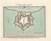
Cape Fort

